Irma Taking Its Time Moving Away From Cuba, Florida Keys Bracing For Impact
Follow CBSMIAMI.COM: Facebook | Twitter
MIAMI (CBSMiami) – Hurricane Irma is taking its time moving away from Cuba.
Life-threatening storm surge is expected in the Florida Keys and the West Coast of Florida.
At 11 p.m., the Category 3 hurricane was about 90 miles southeast of Key West.
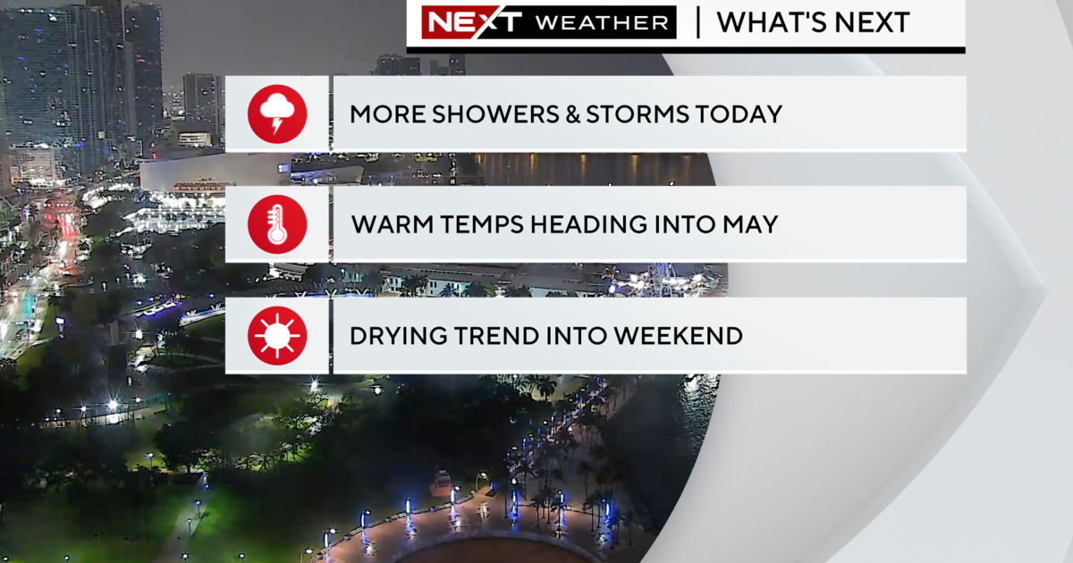
Irma is moving slowly northwestward away from the north coast of Cuba near 6 mph. A turn toward the north-northwest with an increase in forward speed is expected through late Monday. On the forecast track, the center of Irma is expected to cross the Lower Florida Keys Sunday morning and then move near or along the west coast of Florida Sunday afternoon through Monday morning. Irma should then move inland over the Florida panhandle and southwestern Georgia Monday afternoon.
Maximum sustained winds are near 120 mph with higher gusts. Hurricane-force winds extend outward up to 70 miles from the center, and tropical-storm-force winds extend outward up to 205 miles.
Irma is a category 3 hurricane on the Saffir-Simpson Hurricane Wind Scale. Irma is forecast to restrengthen a little while it moves through the Straits of Florida and remain a powerful hurricane as it approaches the Florida Keys and the west coast of Florida.
The Storm Surge Warning has been extended westward from the Suwannee River to the Ochlockonee River.
The Storm Surge Warning has been discontinued north of North Miami Beach to Jupiter Inlet.
The government of Cuba has discontinued the Hurricane Warning for the province of Camaguey.
SUMMARY OF WATCHES AND WARNINGS IN EFFECT:
A Storm Surge Warning is in effect for...
- South Santee River southward to Jupiter Inlet
- North Miami Beach southward around the Florida peninsula to the Ochlockonee River
- Florida Keys
- Tampa Bay
A Hurricane Warning is in effect for...
- Fernandina Beach southward around the Florida peninsula to Indian Pass
- Florida Keys
- Lake Okeechobee
- Florida Bay
- Cuban provinces of Ciego de Avila, Sancti Spiritus, Villa Clara, Matanzas, and La Habana
- Andros Island, Bimini, and Grand Bahama
A Hurricane Watch is in effect for...
- North of Fernandina Beach to Edisto Beach
A Tropical Storm Warning is in effect for...
- West of Indian Pass to the Okaloosa/Walton County Line
- North of Fernandina Beach to South Santee River
Miami-Dade, Broward, Monroe, Palm Beach, Collier, Glades, and Hendry counties are under a Tornado Watch until midnight.
STORM SURGE: The combination of a dangerous storm surge and the tide will cause normally dry areas near the coast to be flooded by rising waters moving inland from the shoreline. The water is expected to reach the following HEIGHTS ABOVE GROUND if the peak surge occurs at the time of high tide...
Cape Sable to Captiva...10 to 15 ft
Captiva to Ana Maria Island...6 to 10 ft Card Sound Bridge through Cape Sable, including the Florida Keys...5 to 10 ft
Ana Maria Island to Clearwater Beach, including Tampa Bay...5 to 8 ft
North Miami Beach to Card Sound Bridge, including Biscayne Bay...3 to 5 ft
South Santee River to Fernandina Beach...4 to 6 ft Clearwater Beach to Ochlockonee River...4 to 6 ft Fernandina Beach to Jupiter Inlet...2 to 4 ft North of North Miami Beach to Jupiter Inlet...1 to 2 ft
The deepest water will occur along the immediate coast in areas of onshore winds, where the surge will be accompanied by large and destructive waves. Surge-related flooding depends on the relative timing of the surge and the tidal cycle, and can vary greatly over short distances. For information specific to your area, please see products issued by your local National Weather Service forecast office.
The combination of a life-threatening storm surge and large breaking waves will raise water levels ABOVE NORMAL TIDE LEVELS by the following amounts within the hurricane warning area near and to the north of the center of Irma. Near the coast, the surge will be accompanied by large and destructive waves.
Northwestern Bahamas...3 to 6 ft
Northern coast of Cuba in the warning area...5 to 10 ft
WIND: Hurricane conditions are expected to continue within the hurricane warning area along the north coast of Cuba through tonight. Hurricane conditions are expected in portions of the northwestern Bahamas tonight, and in portions of the Florida peninsula and the Florida Keys beginning Sunday morning. Tropical storm and hurricane conditions are expected to spread northward across the remainder of the warning areas through Monday.
RAINFALL: Irma is expected to produce the following rain accumulations through Wednesday:
Northern Cuba...10 to 15 inches, isolated 20 inches.
Southern Cuba...5 to 10 inches, isolated 15 inches.
Western Bahamas...3 to 6 inches, isolated 10 inches.
The Florida Keys...10 to 20 inches, isolated 25 inches.
The Florida peninsula and southeast Georgia...8 to 15 inches, isolated 20 inches.
The eastern Florida Panhandle and southern South Carolina...4 to 8 inches, isolated 10 inches.
Rest of eastern Georgia, western South Carolina, and western North
Carolina...4 to 8 inches.
Western Georgia, eastern and northern Alabama, and southern
Tennessee...2 to 5 inches.
In all areas this rainfall may cause life-threatening flash floods and, in some areas, mudslides.
TORNADOES: A few tornadoes are possible through Sunday night, mainly across southern, central, and eastern portions of the Florida peninsula.
SURF: Swells generated by Irma are affecting the southeast coast of the United States. These swells are likely to cause life- threatening surf and rip current conditions. Please consult products from your local weather office.
- Click here for ways to prepare yourself for an impending storm from our Hurricane Preps page
- Click here for latest news surrounding hurricanes and the National Hurricane Center
- Click here to see all of the latest maps when a storm forms in the Atlantic
- Click here to download the CBS4 2017 Hurricane Guide (English)
- Click here for Live Weather Blog
- Download the CBS4 Weather App Here