Storm Surge Flooding From Matthew Continues In Florida And Georgia
Follow CBSMIAMI.COM: Facebook | Twitter
MIAMI (CBSMiami) -- The eye of Hurricane Matthew is continuing northward just off of the coast of Georgia, while storm surge flooding continues in Florida and Georgia.
At 11 p.m. the center of the hurricane was about 70 miles south-southeast of Savannah, Georgia.
Matthew is moving toward the north near 12 mph and this motion is expected to continue Friday night.
A turn toward toward the north-northeast and then to the northeast is expected on Saturday.
On the forecast track, the center of Matthew will continue to move near or over the coast of Georgia through Friday night, near or over the coast of South Carolina later tonight and Saturday, and near the coast of southern North Carolina on Saturday night.
Maximum sustained winds are near 110 mph with higher gusts. Although weakening is forecast during the next 48 hours, Matthew is expected to remain a hurricane until it begins to move away from the southeastern United States on Sunday.
Hurricane-force winds extend outward up to 60 miles from the center and tropical-storm-force winds extend outward up to 185 miles.
Hurricane and tropical storm conditions are expected to continue over the warning area in Florida tonight, and spread northward within the warning area through Saturday.
SUMMARY OF WATCHES AND WARNINGS IN EFFECT:
A Hurricane Warning is in effect for:
- North of Fernandina Beach to Surf City
A Hurricane Watch is in effect for:
- North of Surf City to Cape Lookout
A Tropical Storm Warning is in effect for:
- North of Surf City to Duck
- Pamlico and Albemarle Sounds
- North of Flagler/Volusia county line to Fernandina Beach
Residents in high-rise buildings should be aware that the winds at the top of a 30-story building will be, on average, about one Saffir-Simpson category higher than the winds near the surface.
Hurricane conditions are possible within the Hurricane Watch and Tropical Storm Warning area in North Carolina by Saturday night or Sunday morning, with tropical storm conditions expected by Saturday morning.
STORM SURGE
The combination of a dangerous storm surge, the tide, and large and destructive waves will cause normally dry areas near the coast to be flooded by rising waters moving inland from the shoreline. The water could reach the following heights above ground if the peak surge occurs at the time of high tide:
- Flagler Beach, Florida, to Edisto Beach, South Carolina, including portions of the St. Johns River...6 to 9 ft
- Volusia/Brevard county line to Flagler Beach, Florida...4 to 6 ft
- Edisto Beach, South Carolina to Cape Fear, North Carolina...5 to 7 ft
- Cape Fear to Duck, North Carolina, including portions of the Pamlico and Albemarle Sounds...2 to 4 ft
The deepest water will occur along the immediate coast in areas of onshore winds. Surge-related flooding depends on the relative timing of the surge and the tidal cycle, and can vary greatly over short distances. Large waves generated by Matthew will cause water rises to occur well in advance of and well away from the track of the center.
There is a danger of life-threatening inundation during the next 36 hours along the Florida northeast coast, the Georgia coast, the South Carolina coast, and the North Carolina coast from the Volusia/Brevard county line, Florida, to Cape Fear, North Carolina.
There is the possibility of life-threatening inundation during the next 48 hours from north of Cape Fear to Duck, North Carolina. For a depiction of areas at risk, please see the Prototype National Weather Service Storm Surge Watch/Warning Graphic. For information specific to your area, please see products issued by your local National Weather Service forecast office.
RAINFALL
Matthew is expected to produce total rain accumulations of 8 to 12 inches over the Atlantic coast of the United States from northeast Florida to eastern North Carolina, with possible isolated maximum amounts of 15 inches. This rainfall may result in life- threatening flooding and flash flooding.
TORNADOES
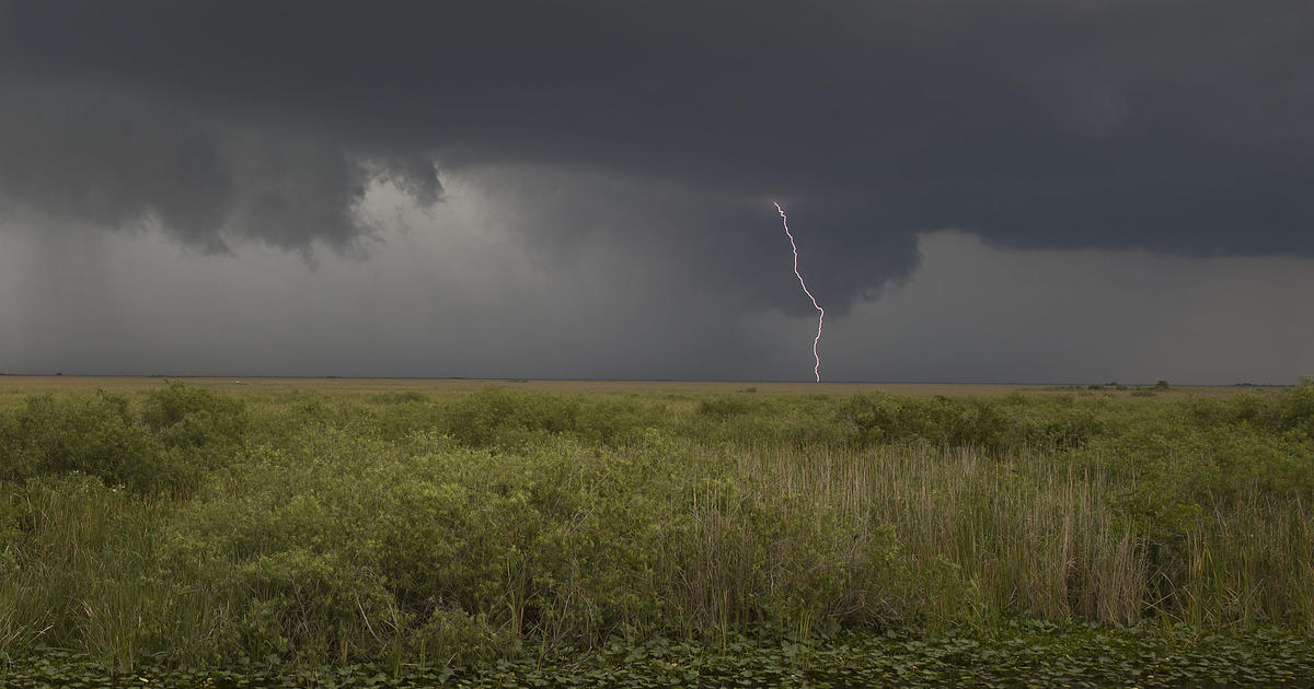
Isolated tornadoes are possible across parts of the South Carolina and Georgia coastal plains late this afternoon and tonight.
SURF
Swells generated by Matthew will continue to affect portions of the Bahamas and the east coast of Florida during the next few days, and will spread northward along the southeast U.S. coast through the weekend. These swells will likely cause life- threatening surf and rip current conditions. Please consult products from your local weather office.
- Click here for ways to prepare yourself for an impending storm from the CBSMiami.com Hurricane Preps page
- Click here for the latest news surrounding hurricanes and the National Hurricane Center
- Click here to see all of the latest maps when a storm forms in the Atlantic
- Click here to download the CBS4 2016 Hurricane Guide (English)
- Click here to download the CBS4 2016 Hurricane Guide (Spanish)
- Click here for Live Weather Blog
- Download CBS4 Weather App Here