Miami Weather: Cool Front On The Way
MIAMI (CBSMiami) - South Florida woke to slightly cooler temperatures on Monday.
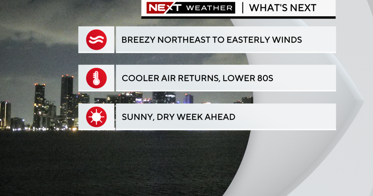
While some inland areas saw the upper 60s, it was mostly in the low to mid-70s across much of Broward and Miami-Dade. It was milder across the Keys with the upper 70s.
Monday afternoon will be warm with plenty of sunshine and highs in the mid to upper 80s. Stray showers possible but the rain chance is low. Minor coastal flooding will be possible around high tide times due to the New Moon King Tides.
Monday night we may see spotty showers and low in the low to mid-70s.
Tuesday the rain chance increases with the potential for scattered storms and showers. The breeze will build out of the northeast with gusts as high as 20 to 25 mph as a cold front moves in.
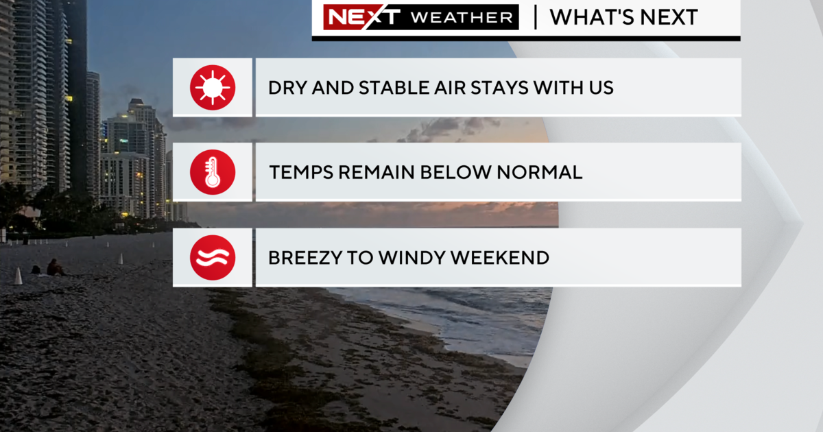
Wednesday will be windy and cooler with highs in the upper 70s. Winds may gust as high as 30 to 35 mph out of the northeast. Wednesday night lows fall to around 70 degrees with cooler upper 60s inland. It will feel more like Fall South Florida style.
More from CBSMiami.com
Miami Man Dies After Parachute Fails To Open While Skydiving
Record Number Of Invasive Pythons Removed From Florida Everglades
COVID Positivity Rate Spiking Across South Florida: 'We Are Going Through The Surge Right Now'
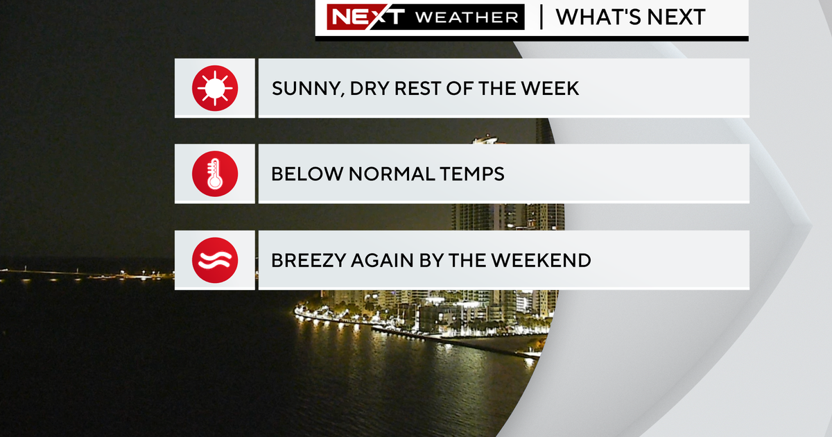
Thursday it will stay windy and we'll enjoy pleasant highs in the upper 70s. Friday morning we'll wake up with temperatures in the low 70s, afternoon highs will be near 80 degrees.
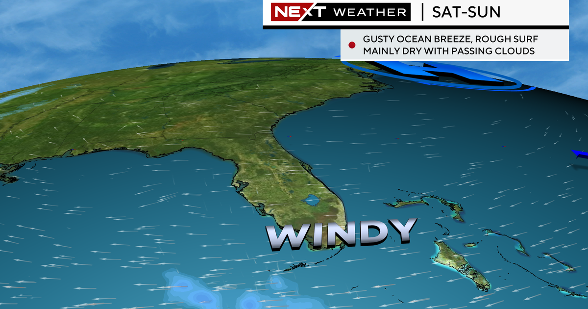
This weekend highs will be a bit warmer in the low 80s with the potential for spotty showers on the breeze.
TROPICS
Iota is a dangerous Category 4 hurricane that is moving to the west around 10 mph. It is forecast to make landfall later on Monday along the northeast coast of Nicaragua. Hurricane warnings are in place for Nicaragua and Honduras. Iota is expected to bring life-threatening storm surge, flash flooding, and catastrophic winds to much of Central America. Iota will continue to move west and weaken to a Tropical Storm by late Tuesday night into Wednesday.
In the meantime, the National Hurricane Center says an area of low pressure could form in a few days over the central or southwest Caribbean Sea. Some slow development could subsequently occur late this week while the system moves slowly westward.


