Another Scorcher Monday With South Florida Temperatures Nearing Record Highs
MIAMI (CBSMiami) – The week began Monday with a warm, steamy start.
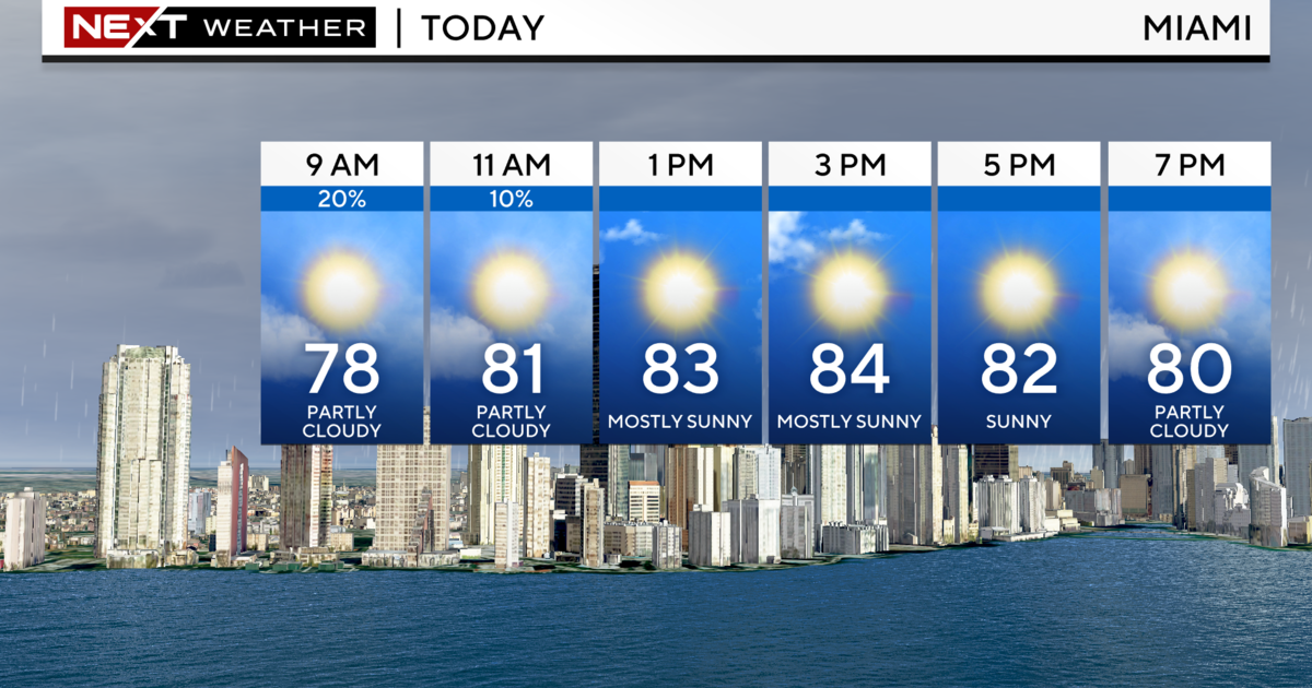
Temperatures started in the low to mid 80s as areas were still dealing with hazy conditions in spots due to some Saharan dust.
Highs will soar to the low to mid 90s this afternoon.
When factoring in the humidity, it will feel like 102 to 108 degrees.
Although it is unlikely we will break record highs today, many areas may get close to or flirt with record heat.
The forecast high for Miami is 94 degrees. The old record is 98 set back in 1944. The forecast high for Fort Lauderdale is 94 degrees. The old record is 97 degrees set back in 1944. The forecast high for Key West is 90 degrees. The old record is 94 degrees set back in 1950.
A heat advisory has been issued for the Florida Keys and Collier counties from noon until 7 p.m. because the heat index will likely rise above 108 degrees for more than 2 hours. Spotty storms will be possible this afternoon and evening.
Tuesday the sizzling heat continues with highs in the low 90s. It will feel like the 100s when you factor in the high humidity. With more of an onshore flow, scattered storms will be possible in the afternoon and evening.
Mid to late week our highs will be closer to normal. Wednesday through Friday our highs will be right around 90 degrees which is our average high this time of year.
As moisture increase, we'll see the potential for passing storms midweek.
Late week we'll see a mix of sun and showers. Highs will be in the upper 80s Saturday and Sunday.