Cold Start But Warm Up On The Way
Follow CBSMIAMI.COM: Facebook | Twitter
MIAMI (CBSMiami) -- Put away the coats for now but grab the umbrella.
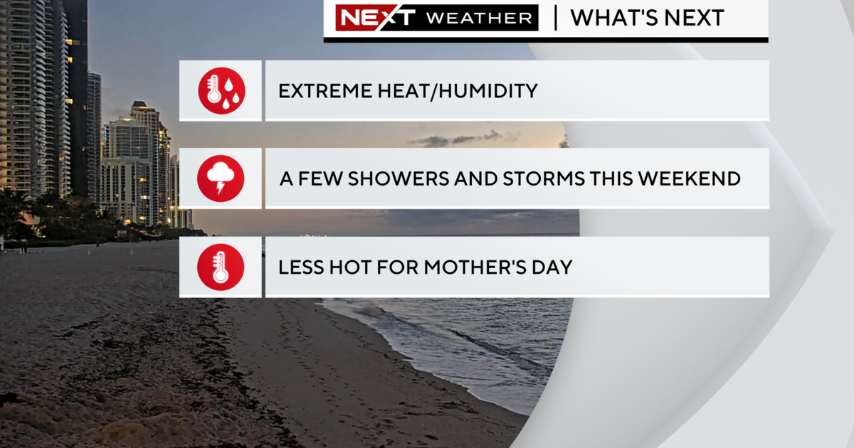
A warmer breeze will be developing Wednesday afternoon but temperatures will not be the only thing increasing for the rest of the week. Showers and even a few storms are likely mainly Friday and early Saturday as a storm system moves across the southeast.
The cold and dry northwest wind will begin shifting to the east Wednesday which will keep temperatures from dropping too much overnight. Lows Thursday morning should be 10 to even 15 degrees warmer with areas near the coast only dropping into the upper 60s.
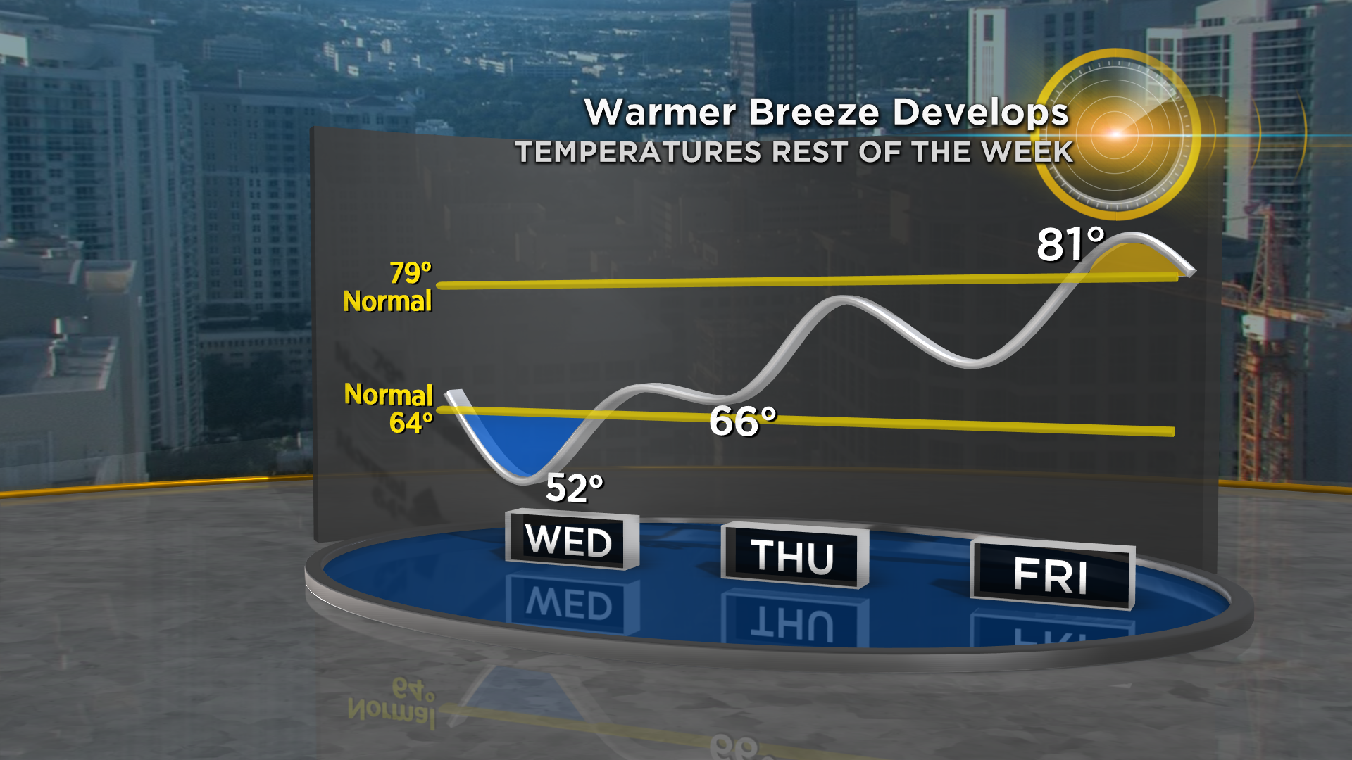
The humidity and temperatures will continue to increase Thursday afternoon and there may be a few showers that pass through the area as we near 80 degrees. The storm responsible for this wind shift will pass near the area Friday increasing our temperatures and rain chances to their highest in the afternoon.
A cold front will lower our rain chances and humidity as it moves through the area Saturday afternoon and evening. Cooler weather is expected but not as cold as it's been over the last two mornings. A seasonable high temperatures of 77 degrees is in the forecast Sunday along with low humidity and bright sunshine. The mornings may feel a little cool but that will only be right around sunrise.
If you're heading to the beach this weekend make sure you stay alert to surf conditions. Rip currents may still be possible along with a hazard for small craft given how windy it has and will continue to be across the area.