Keep Umbrella Handy! Expect More Rain This Week And Into The Weekend
Follow CBSMIAMI.COM: Facebook | Twitter
MIAMI (CBSMiami) - After a stormy Tuesday, we woke up to dry conditions Wednesday morning with plenty of sunshine.
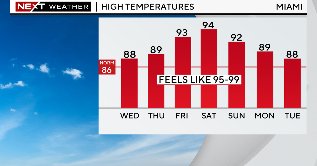
On Wednesday, temperatures for Miami-Dade and Broward counties will be in the low-to-mid 70s and are expected to soar into the upper 80s.
With the heating of the day and abundant tropical moisture in place, clouds will build and storms will likely develop later around 10:30 am or 11am. A few storms could turn strong and localized flooding will be possible.
Tonight scattered storms will be possible with lows in the low to mid-70s.
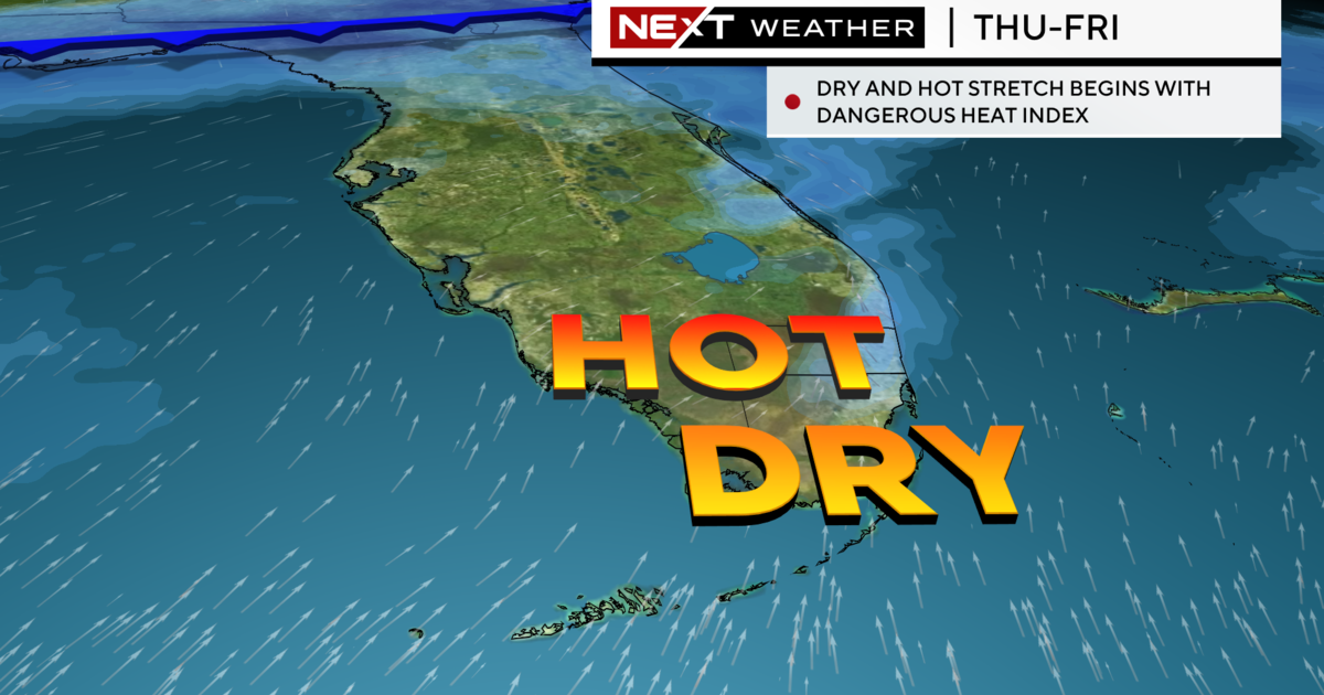
The rain chance remains high the rest of the week and into the weekend due to the moist flow that will remain in place due to the non-tropical area of low pressure in the Northeast Gulf of Mexico.
Rainfall totals through Friday range from 2 to 4 inches for South Florida with some isolated higher amounts.
This low-pressure system in the Gulf has not become better organized and conditions appear less favorable for development. The National Hurricane Center says there is only a 10% chance this disturbance could develop into a tropical or sub-tropical cyclone over the next few days and even over the next 5 days.
Expect highs to be near seasonable in the low to mid-80s the rest of the week.