Rain, Rain, Rain Leads To Soggy, Sloppy Sunday
MIAMI (CBSMiami) – Sunday afternoon will be great time to stay inside and watch a movie or walk the mall.
Showers and thunderstorms have been blowing across our area all day long. The National Weather Service said some of those storms could produce heavy rain. A Flood Watch is in effect until Monday evening.
CBS4 meteorologist Jeff Berardelli said all this rain is from an area of low pressure which has formed over South Florida. Deep moisture has been in place for the last couple of days and now the low pressure is focusing this moisture and wind directly over us. The result is a rare steady rain day for all of South Florida with pockets of heavy downpours.
The rain is expected to fall steadily through the night and begin to break up into showers on Monday.
The NWS said at 4 p.m. a record rainfall of 2.86 inches of rain was recorded at Miami International Airport. This broke the old record of 2.58 inches set back in 2011.
We could see up to five inches of rain, with some areas getting up to eight inches. The rain will cause ponding water in low lying spots, on highways and underpasses. The runoff will also cause elevated water levels in canals and ditches.
In addition to the rain Sunday will be breezy, with an east wind between 20 and 22 mph, with gusts as high as 29 mph. Some of the more intense showers and thunderstorms could produce wind gusts of up to 50 mph late Sunday into Monday, according to the NWS.
The strong easterly winds combined with wave action will result in a high risk of rip currents. There is a slight chance of waterspouts forming out in the ocean and over Biscayne Bay.
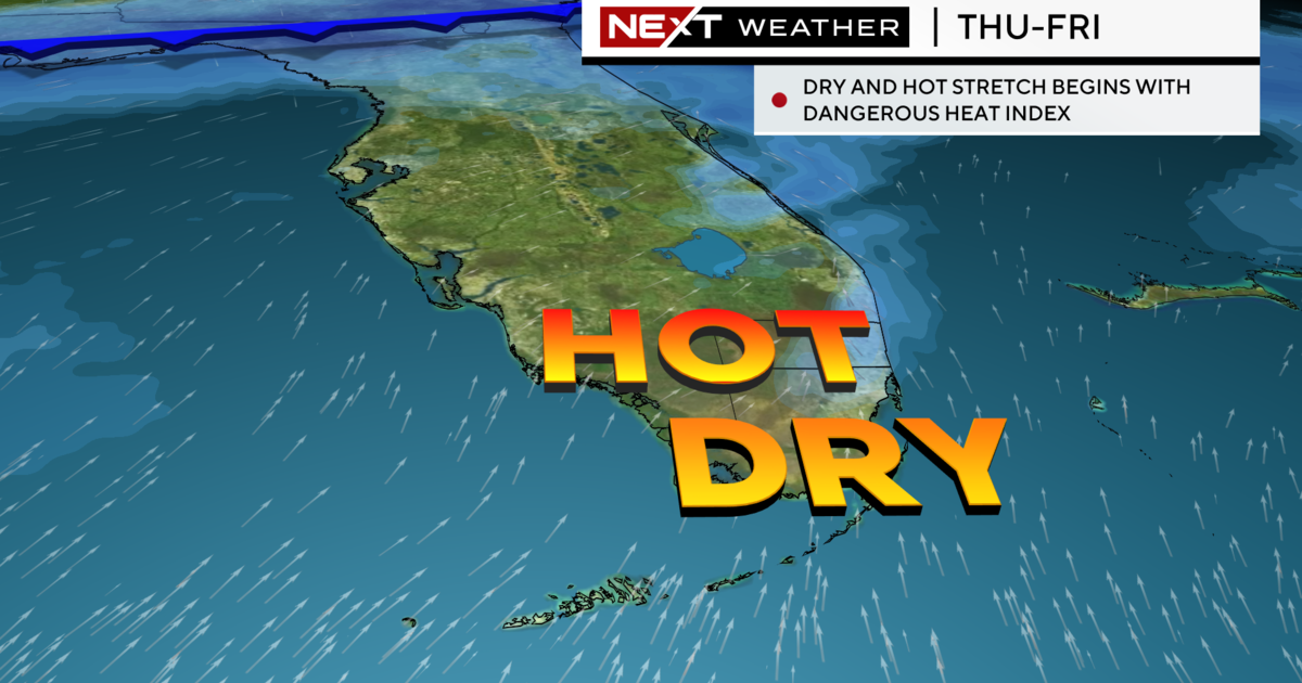
The higher than normal moisture will remain in South Florida for the next few days but will gradually thin out as the week goes on. Expect sunshine to increase as the week wears on.