Hurricane Ida Gaining Strength Over Warm Water As It Heads To Gulf Coast
MIAMI (CBSMiami) - Hurricane Ida is strengthening as it moves over the very warm waters of the Gulf of Mexico on Saturday.
Ida is forecast to rapidly intensify to a Category 4 hurricane before making landfall in the Northern Gulf Coast, along Louisiana's coastline. That landfall will occur later Sunday but weather conditions will begin deteriorating by overnight Saturday into Sunday morning.
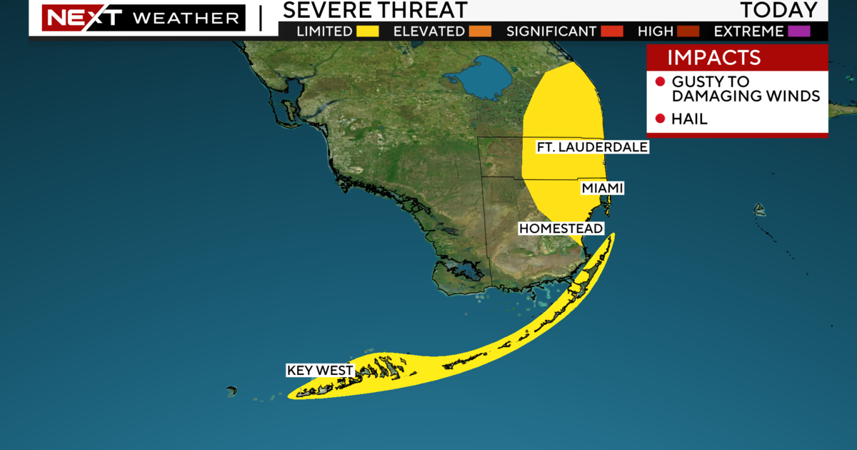
Hurricane Ida is not a direct impact to South Florida but an outer band has brought rain for southern Miami-Dade throughout Saturday morning in areas Between Leisure City, Naranja, and Homestead.
The short-term forecast model shows that the rain band will dissipate by this afternoon. The rest of South Florida may just see a passing shower or two, otherwise mainly dry and cloudy conditions are expected.
Breezy and gusty winds expected through Saturday as well, especially in the Lowers Keys, where sustain winds speeds will be between 20 to 25 mph with gusts at 30 mph. This is causing hazardous marine conditions in around the Middle and Lower Keys. A small craft advisory is in effect through Saturday evening.
On Sunday, expect lighter winds across our area and a little more sun, but still mostly cloudy with the chance for storms. The heat will return with more sunshine starting Monday and along with hazy skies due to another plume of Saharan Dust moving in from the Caribbean and Atlantic.
Forecast afternoon highs will be mainly in the upper-80s through the weekend and then back to the 90s next week.
We are also tracking other areas in the tropics that do not pose a threat to South Florida. One of them is Tropical Depression Ten which formed early Saturday morning and is located in the central tropical Atlantic.
Tropical Depression ten is expected to become Tropical Storm Julian on Sunday as it tracks northward over open waters and stays away from the Lesser Antilles. In addition, a tropical wave will move off the coast of West Africa by the middle of next week with a medium chance for tropical formation next week as it moves westward. Another area that has a chance for tropical development is associated with a low-pressure system located over the north-central Atlantic.
The system will be absorbed by a front and accelerate towards the north Atlantic on Sunday.
Stay tuned to CBS 4 Storm Team and on CBSMiami.com for latest on local weather and the tropics.


