Miami Weather: More Typical Summer Pattern Returns To South Florida
MIAMI (CBSMiami) - We're kicking off the new week with a more typical summer pattern in South Florida.
The bulk of the moisture associated with Tropical Storm Fred is moving over the Panhandle. Fred will make landfall near Panama City, or just west of there, Monday afternoon.
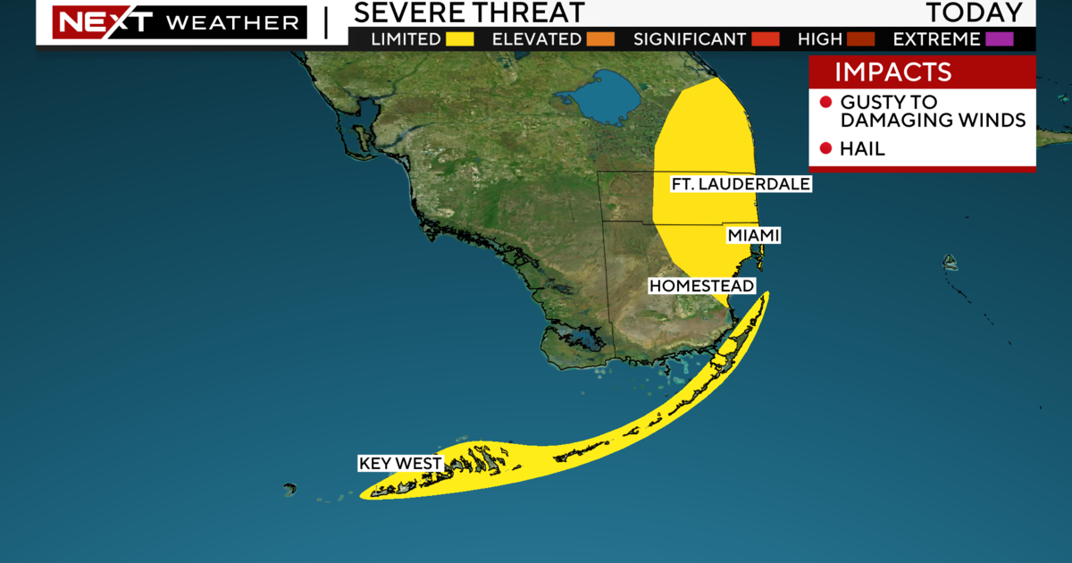
Here at home, in South Florida, a southeast wind will help to steer the sea breeze towards the inland areas. So isolated showers or storms are expected to develop over the western cities and the Everglades. That southeast breeze will run between 10 to 15 mph throughout Monday.
More sunshine has returned to our area and so a hotter day is in store with high temperatures topping 90° and heat indices near the triple-digits during Monday afternoon.
More moisture returns as soon as Tuesday and this will make the day a little wetter with a few morning showers and afternoon scattered storms. A patch of drier air sweeps into South Florida on Thursday allowing for rain chances to fall and sunnier weather to return once again.
In the Caribbean, Grace impacts the Dominican Republic and Haiti with heavy rainfall throughout Monday as a tropical depression. Grace will regain strength as a tropical storm on Tuesday as the center tracks over water, between Cuba and Jamaica. Grace will continue to track westward towards the Yucatan and the western Gulf of Mexico by the end of the week. This means that Grace will remain well away from South Florida.
A newly formed tropical depression spins east of Bermuda, over the Atlantic Ocean, and is expected to become the next named storm later Monday or by Tuesday. The next name on the list is Henri, pronounced "ahn-REE."


