Miami Weather: A Drop In Humidity On The First Day Of Fall
MIAMI (CBSMiami) - Happy first day of Fall!
The Autumnal Equinox took place at 9:31 a.m. marking the start of Astronomical Fall when the Sun crosses directly over the Celestial Equator.
That means on Tuesday, we'll have nearly equal hours of daylight and darkness.
The sun rise took place at 7:10 a.m. and the sun will set at 7:17 p.m.
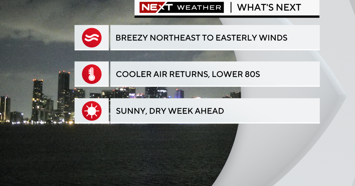
We will enjoy a taste of Fall-like weather with less humidity courtesy of the front that brought us all the wet weather on Monday.
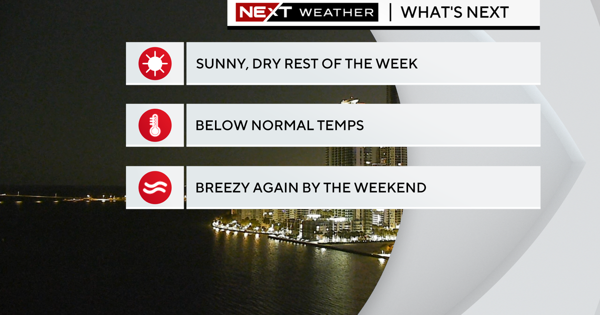
We stay breezy with more sunshine and highs in the upper 80s. Our average high is 89 degrees. We will be slightly below normal with a forecast high of 87 degrees. With lower dewpoints and the ocean breeze, it will feel a lot more comfortable on Tuesday as compared to the past few weeks.
The strong onshore flow is leading to dangerous high risk of rip currents and hazardous boating conditions. A Small Craft Advisory remains in effect due to choppy conditions on the bay. A coastal flood advisory continues due to higher than normal "King Tides." Minor coastal flooding is possible around high tide times. Next high tide around 1 p.m. and then at 1 a.m.
Wednesday will be breezy and highs will remain in the upper 80s. Thursday the humidity returns and we warm back up. The rain chance increases late week and into the weekend as the frontal boundary lifts back north and increases moisture across South Florida.
Highs climb to around 90F Saturday and Sunday with scattered storms.
TROPICS
Tropical Storm Beta is bringing heavy rain, flooding, gusty winds and the potential for stromg surge along the middle and upper Texas coast. Tropical Storm Beta was moving very slowly northwest at 3 mph and forecast to stall out along the Texas coast on Tuesday before moving northeast across Louisiana on Wednesday as a tropical depression. It will weaken to an area of low pressure by late week over the Southeast United States.
At 5 a.m., Hurricane Teddy was located about 600 miles south of Halifax, Nova Scotia.
Paulette regenerated into a Tropical Storm about 300 miles south-southeast of the Azores.
Showers and thunderstorms extending from the Bahamas westward through the Straits of Florida and into the southeastern Gulf of Mexico are associated with a frontal system. This system is forecast to move slowly southward over Cuba during the next couple of days, and then move back northward on Thursday through Saturday.
Environmental conditions could be marginally conducive for some slight development over the southeastern Gulf of Mexico late this week. Regardless of development, locally heavy rainfall is possible over portions of Cuba on Tuesday and Wednesday. This area has a low potential of development over the next 2 to 5 days.


