Miami Weather: Wet, Windy Start To The Week
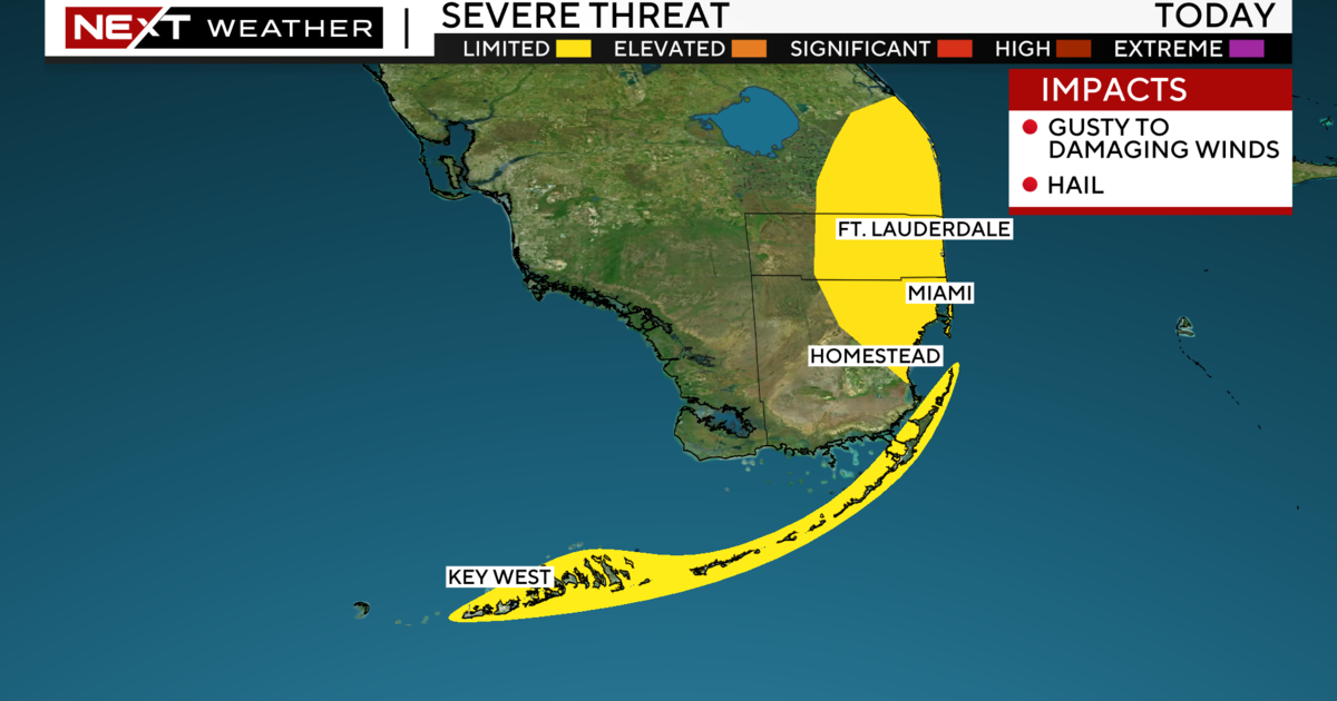
MIAMI (CBSMiami) - Hang on to your umbrellas, we are in for a wet and windy start to the week courtesy of a front passing through.
Plenty of moisture will keep our rain chance high on Monday. It was a soggy morning with scattered showers and storms moving through. Throughout the day we will see gusty downpours that may lead to flooding in spots.
Highs will struggle to reach the mid to upper 80s due to the clouds and rain around.
A Wind Advisory is in place through 2 a.m. Tuesday due to northeast winds of 15 to 25 mph with gusts as high as 35 mph.
A Coastal Flood Advisory is in effect since minor coastal flooding will be possible around high tide times. Hazardous beach and boating conditions today due to the strong winds. There is a dangerous risk of rip currents and it is not safe to go swimming. A small craft advisory and gale warning are in effect due to gusts up to 35 knots and rough seas of 7 to 9 feet, up to 11 feet.
Monday night we stay windy with scattered showers and lows in the upper 70s.
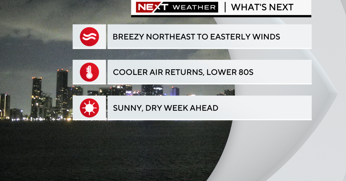
Tuesday is the first official day of Fall and it will feel a little more like Fall "South Florida style" due to lower humidity and lower temperatures. Highs will be in the mid-80s. It will be breezy with spotty showers. The winds will be lighter by Wednesday with more sunshine and highs in the mid to upper 80s. Thursday and Friday the rain chance will go up again.
TROPICS
At 5 a.m., Tropical Storm Beta was about 90 miles east-southeast of Port O'Connor, Texas and was moving west at mph. Tropical Storm conditions expected Monday morning across portions of Texas. Heavy rain, flooding, gusty winds, and storm surge will likely impact parts of Texas and Louisiana. Beta is forecast to make landfall Monday evening across the east coast of Texas and then move northeastward the next few days.
Category 2 Hurricane Teddy was 165 miles southeast of Bermuda moving north at 9 mph. A Tropical Storm Warning in effect for Bermuda. Teddy is producing large swells and dangerous rip currents along the Atlantic seaboard.
In the Northern Atlantic, Post-Tropical Cyclone Paulette is producing a small area of shower and thunderstorms, not far to the southeast of its center of circulation. The system is meandering over marginally warm waters and is expected to begin moving eastward later today. Further development is possible and the system could become a tropical or subtropical cyclone today or tomorrow. It has a medium chance of development over the next 2 to 5 days.


