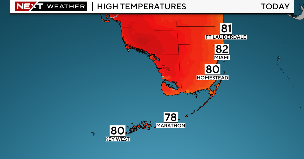
Miami Weather: Heavy Downpours, Lightning Possible Wednesday Afternoon
MIAMI (CBSMiami) - South Florida got a break from the wet weather Wednesday morning, but another round of storms is expected in the afternoon.
The combination of a frontal boundary draped across central Florida and a trough just north of Lake Okeechobee will maintain a south to southwesterly flow which will continue to funnel deep tropical moisture across South Florida. The heating of the day and this moisture will lead to showers and storms developing around midday and especially this afternoon and evening.
The Storm Prediction Center is not forecasting severe weather. However, some storms may produce heavy downpours, lightning, and gusty winds. With lighter winds in comparison to the past few days, we may see storms that are slow-moving produce some heavy rainfall. Since the ground is already saturated due to the rain the past few days, localized flooding remains a concern for low-lying and poor drainage areas.
Thursday will be a transitional day as the low-pressure system moves farther away and drags a weak cold front across South Florida. Scattered showers and storms will still be possible in the afternoon due to lingering moisture. Winds will begin to shift more out of the northeast behind the boundary as the deep tropical moisture begins to move southward.
Friday we'll enjoy mostly sunny skies with the potential for spotty showers.
This weekend drier air will move in as high pressure dominates our weather pattern. We'll enjoy lower humidity, pleasant sunshine and the chance for isolated showers on Saturday and Sunday. Temperatures will decrease slightly. Lows will be in the upper 60s inland and mid to low-70s along the eastern portions of South Florida. Highs will be close to the mid-80s.
In the tropics, the CBS4 Weather Team is monitoring three systems. The disturbance that has brought us all the moisture and wet weather over the past few days has a low potential of development. This small area of low pressure, located about 250 miles southeast of Cape Hatteras, North Carolina, has a 20% chance of development and is forecast to merge with the low-pressure system located off the Mid-Atlantic coast.
A non-tropical low-pressure system off the Mid-Atlantic coast is forecast to strengthen as a non-tropical low off the east coast of the U.S. over the next day or so. The National Hurricane Center is giving this disturbance a low potential of development as environmental conditions are now forecast to be less conducive for significant subtropical or tropical cyclone development through the end of the week as it meanders offshore. Regardless of development, this system is expected to bring strong winds, coastal flooding and rough surf to portions of the Mid-Atlantic and northeastern U.S.
The third disturbance is a non-tropical low-pressure system located about 1,000 miles east of Bermuda and it is producing winds to near gale force. This system could still become a tropical or sub-tropical storm while it moves slowly westward. This disturbance has a medium potential (40% chance) of development over the next two to five days.