Windy Welcome To October
MIAMI (CBSMiami) - We are kicking off the month of October with gusty winds and some quick showers.
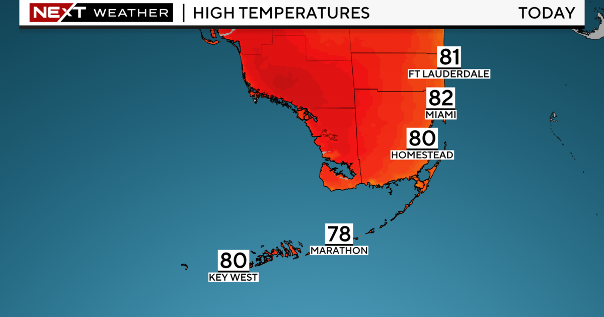
Fast-moving showers will be possible throughout the day. It was a warm start with low 80s across South Florida. This afternoon highs climb to the upper 80s with a mix of sun and clouds.
There is a dangerous high risk of rip currents the beach due to the strong onshore breeze. Swimming is not recommended. A small craft advisory continues for boaters due to choppy conditions on the bays and rough seas.
The combination of strong onshore winds and higher than normal "King Tides" will lead to the potential for more coastal flooding along low-lying and vulnerable areas during high tide times. Hence, a coastal flood advisory is in effect until Wednesday afternoon. The next high tides will take place around 10 a.m. until noon and again from 11 p.m. until midnight.
We will stay breezy through Wednesday with the chance for fast-moving showers and seasonable highs in the upper 80s.
Thursday and Friday spotty storms will be possible. Rain chance will increase late week into the weekend due to deep tropical moisture associated with a disturbance in the northwest Caribbean. That moisture will surge from the south to the north and enhance our chance for showers and storms this Saturday and Sunday.
In the tropics, an area of low pressure located over the northwest Caribbean is producing an area of disorganized cloudiness an thunderstorms. Slow development is possible with this disturbance, but the National Hurricane Center is giving it a low potential (10% chance) of developing in the next two to five days. This system is expected to move west-northwest near the Yucatan peninsula in a couple of days and then across the southern Gulf of Mexico by Friday.
Another disturbance is located near the southeast Bahamas. This area of disorganized cloudiness and showers has a low potential (10% chance) of developing as it moves northeast at 5 to 10 miles per hour, well south and east of Bermuda.
Hurricane Lorenzo is a Category 2 located 555 miles southwest of the Flores Island in the Western Azores. Lorenzo is racing quickly northeast at 22 mph with maximum sustained winds of 100 mph. Lorenzo is forecast to become a Category 1 later today and will make its closest approach to the Azores Wednesday.