Miami Weather: Strong Storms, Gusty Wind As Front Approaches
MIAMI (CBSMiami) - Strong to even severe storms are expected to move through South Florida later this evening and overnight as a cold front pushes through the area.
The main threat is strong wind gusts with a line of storms that can be seen moving through the Florida Panhandle and the Gulf of Mexico.
Currently, the area is under a marginal risk for severe weather with the main threat being strong wind gusts. Farther north the risk increases with tornadoes being a threat as watches are already issued for parts of the state. The concern here is not with tornadoes but with damaging wind from the storms and brief but heavy downpours.
During the day, ahead of that line of storms, the wind will continue to gust over 20 mph leading to a high risk of rip currents and a hazard to small craft. Along with the breeze, showers continue to move through the area from south to north mainly this morning. The rough surf and boating hazard will continue all day and advisories will likely extend through the start of the weekend despite the strongest storms coming through the area tonight.
As the storms approach the area they are forecast to weaken slightly as they move onto the Gulf Coast and across the Southern Florida Peninsula arriving here along the east coast in the evening. Storms will contain stronger wind gusts along with brief downpours which will lead to poor visibility and ponding on roadways. The storms are expected to move out of the area overnight and be followed by slightly cooler but drier air which will be here for the next few days.
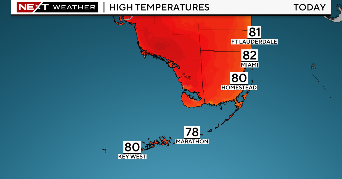
A shower is possible Saturday but the trend will be for more sunshine and less wind throughout the day. Easter Sunday will see temperatures below 70 degrees in the morning and pleasant sunshine in the afternoon with a high near 80 degrees.