Brrrr - Cold Snap Won't Last
Follow CBSMIAMI.COM: Facebook | Twitter
MIAMI (CBSMiami) - The coldest air of the season swept South Florida Sunday night into Monday morning.
The mercury fell to the 40s across Broward and Miami-Dade. In the Keys, temperatures dipped into the 50s.
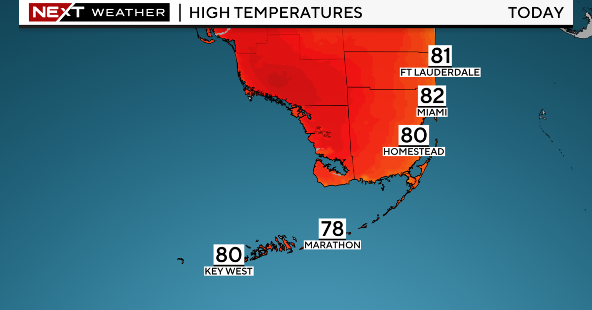
The last time that South Florida woke up to the 40s was about a year ago on January 18th, 2018. So we can agree that today's cold snap is definitely something we are not used to down in the southern tip of the Peninsula. Plus, throughout the day temperatures will barely warm up. This afternoon will remain very cool with high temperatures in the mid-60s.
It won't be as cold tonight, lows are expected to be in the upper 50s and lower 60s.
This cold blast is thanks to Arctic air underneath a high-pressure system that has taken over the eastern half of the nation, including the Sunshine State.
This high will slide eastward and eventually move over the western Atlantic waters in the next two days. As this happens, the Arctic air will lift back north, away from South Florida, and a breezy, easterly wind sets up on Tuesday.
This means that our temperatures will not be as chilly due to the brisk east wind. In addition, the breeze will bring back the chance for passing showers and more clouds. Daytime temperatures rebound back to the low 70s on Tuesday afternoon then the upper 70s by mid-week before another cold front slides through our area Thursday night.


