Chilly Start & Coldest Temperatures Of The Week Are On The Way
Follow CBSMIAMI.COM: Facebook | Twitter
MIAMI (CBSMiami) – It was another chilly start across South Florida Wednesday morning and there's still more cooler temperatures on the way.
Wednesday morning lows were in the mid to upper 50s across Broward and Miami-Dade. Average low is 65 degrees. It was cool across the Keys too with temps in the low 60s.
There are more clouds today in comparison to yesterday and a lighter breeze with plenty of pleasant sunshine.
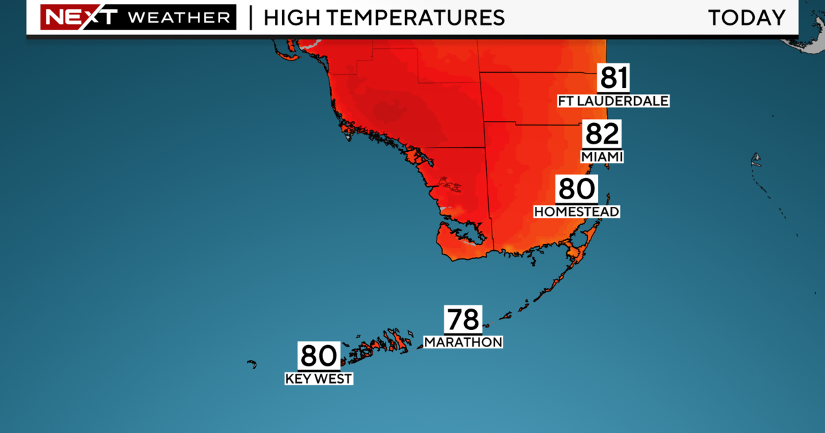
Highs in the low to mid 70s. Normal high: 80 degrees.
Tuesday night, cold air moves back in bringing our coldest temperatures this week.
Overnight into Thursday morning lows will fall to the upper 40s inland and low 50s along the coast. Much of South Florida will likely feel like the 40s due to the northerly breeze in place. Thursday, highs will once again be comfortable and below normal with low 70s. Average high: 80 degrees.
By Friday morning, lows will be in the upper 50s.
Friday afternoon highs will start to rebound and warm to the upper 70s.
Due to high pressure in control and very dry air in place over the next few days, the fire danger will remain high.
This weekend the warming trend continues. Lows will be back to normal with low to mid 60s. Highs rise to the low 80s on Saturday for St. Patrick's Day on Saturday and Sunday.
Even warmer early next week with highs in the mid 80s on Monday with the chance for scattered showers.
Next Tuesday, March 20th, is the first official day of Spring, the Vernal Equinox, and we'll feel more like Spring next Tuesday with highs in the mid 80s and the chance for spotty showers.