Cool Front Moving In, Nice Weekend Ahead
Follow CBSMIAMI.COM: Facebook | Twitter
MIAMI (CBSMiami) - A change in the weather is coming for the weekend.
But first, did you smell smoke when you walked out the door this morning.
If you did, it was from a controlled burn in southeast Collier County. Morning winds from the west pushed the smoke towards our metro areas. In some places, when you combined the smoke and morning fog, visibility was reduced to a mile or less.
So let's talk about the weather. Temperatures were mild this morning with mostly low 70s, some inland areas saw mid to upper 60s.
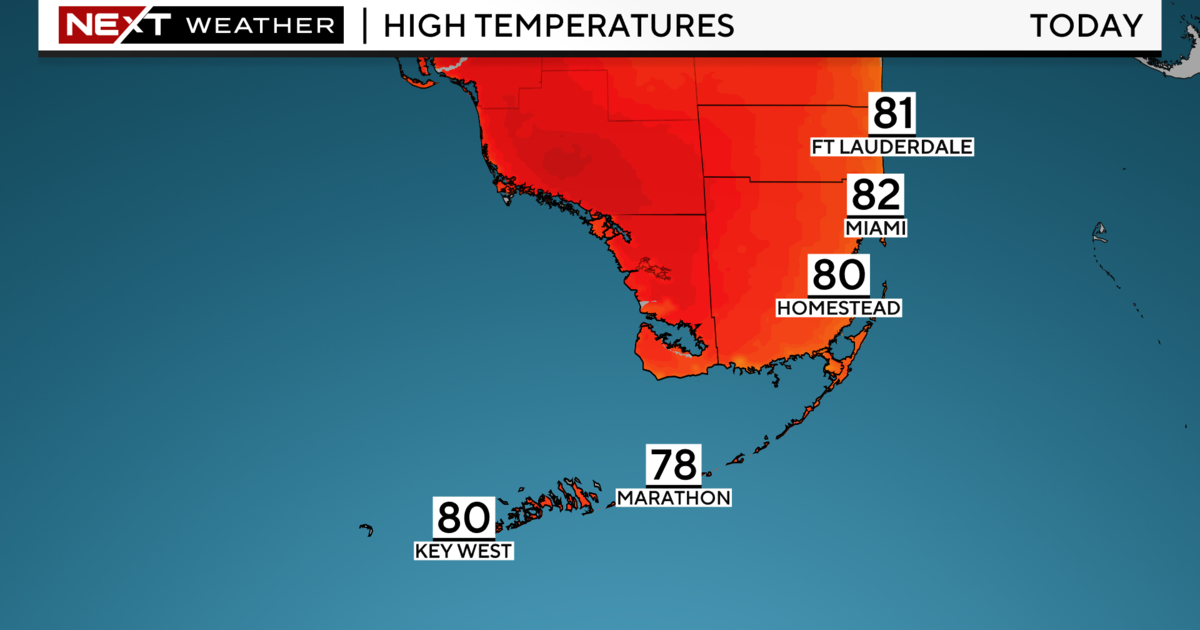
Today will be the final very warm day ahead of a cold front on the way. Highs will climb to the mid to upper 80s with plenty of sunshine.
The UV index will be high and there will be a moderate risk of rip currents at the beach. Expect a Small Craft Advisory to be issued later this evening as winds increase.
Scattered showers will develop later today and a few showers possible tonight due to the front. Overnight we'll be cooler in the wake of the front once the skies clear. Lows will dip down to the low 60s with a few inland areas falling to the upper 50s.
High pressure builds in this weekend. We'll enjoy lower humidity and pleasant sunshine with highs finally closer to normal.
Saturday highs climb to the upper 70s. The breeze will increase which will lead to a high risk of dangerous rip currents through the weekend. We'll also see hazardous marine conditions due to higher seas.
Sunday morning we will likely be cooler with many areas waking up with the upper 50s and low 60s. Highs once again we will be comfortable and seasonal with the upper 70s on Sunday and Monday.
It will be warmer on Tuesday with temperatures rebounding into the low 80s before another cold front arrives on Wednesday.