California's Wildfires As Seen From Space
Follow CBSMIAMI.COM: Facebook | Twitter
(CNN) -- How massive are the wildfires torching Southern California? Smoke from the blazes is clearly visible from 438 miles above the Earth.
NASA's Terra satellite captured this image Tuesday afternoon showing gray plumes of smoke from the fires, pushed by Santa Ana winds, drifting far out into the Pacific.
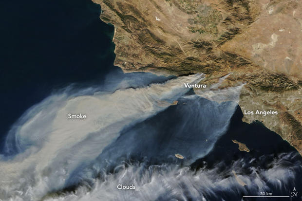
The largest plume, top left, is from the Thomas Fire, which has burned more than 50,000 acres in Ventura County.
Smaller plumes from the Creek and Rye fires, closer to Los Angeles, also are visible. (Those puffy white streaks towards the bottom of the photo are clouds.)
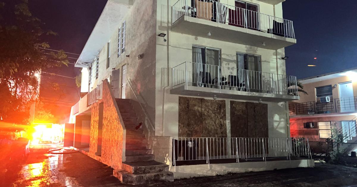
The fires have already scorched more than 65,000 acres, torching scores of buildings and forcing tens of thousands of people to flee their homes.
The winds might die down during sunlight Wednesday, but they're expected to pick up in the evening and Thursday -- perhaps as gusty as 50 mph, posing a risk of further spread.
A red-flag warning, which is for extreme weather conditions that could cause wildfires, is in effect until 8 p.m. PT Friday.
©2017 CBS Broadcasting Inc. All Rights Reserved. Cable News Network, Inc., a Time Warner Company, contributed to this report.)