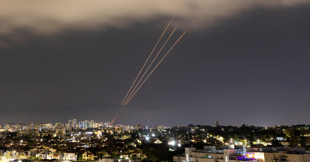
Irma Producing Hurricane-Force Winds Across Portions Of Central Florida
Follow CBSMIAMI.COM: Facebook | Twitter
MIAMI (CBSMiami) – Hurricane Irma is producing hurricane-force winds across portions of Central Florida.
At 10:50 p.m., the center of the Category 2 hurricane was 40 miles east-northeast of Sarasota.
Irma is moving toward the north near 14 mph. A turn toward the north-northwest and then northwest at a faster forward speed is expected during the next day or so. On the forecast track, the center of Irma will continue to move over the western Florida peninsula through Monday morning and then into the southeastern United States late Monday and Tuesday.
Doppler radar data indicate that maximum sustained winds have decreased to near 100 mph with higher gusts. Additional weakening is forecast, and Irma is expected to become a tropical storm over far northern Florida or southern Georgia on Monday.
Irma has a very large wind field. Hurricane-force winds extend outward up to 80 miles from the center, and tropical-storm- force winds extend outward up to 415 miles.
The estimated minimum central pressure is 952 mb.
SUMMARY OF WATCHES AND WARNINGS IN EFFECT:
A Storm Surge Warning is in effect for...
- South Santee River southward to Jupiter Inlet
- North Miami Beach southward around the Florida peninsula to the Ochlockonee River
- Florida Keys
- Tampa Bay
A Hurricane Warning is in effect for...
- North of Jupiter Inlet to Fernandina Beach
- North of Bonita Beach to Indian Pass
- Lake Okeechobee
A Hurricane Watch is in effect for...
- North of Fernandina Beach to Edisto Beach
A Tropical Storm Warning is in effect for...
- Jupiter Inlet southward around the Florida peninsula to Bonita Beach
- Florida Keys
- Florida Bay
- West of Indian Pass to the Okaloosa/Walton County Line
- North of Fernandina Beach to South Santee River
A Tropical Storm Warning is in effect for...
- Bimini and Grand Bahama
STORM SURGE: The combination of a dangerous storm surge and the tide will cause normally dry areas near the coast to be flooded by rising waters moving inland from the shoreline. The water is expected to reach the following HEIGHTS ABOVE GROUND if the peak surge occurs at the time of high tide...
Cape Sable to Captiva...4 to 6 ft
Captiva to Anna Maria Island...3 to 5 ft North Miami Beach to Cape Sable, including the Florida Keys...3 to 5 ft Anna Maria Island to Clearwater Beach, including Tampa Bay...2 to 4 ft South Santee River to Fernandina Beach...4 to 6 ft Clearwater Beach to Ochlockonee River...4 to 6 ft Fernandina Beach to Jupiter Inlet...3 to 5 ft
The deepest water will occur along the immediate coast in areas of onshore winds, where the surge will be accompanied by large and destructive waves. Surge-related flooding depends on the relative timing of the surge and the tidal cycle, and can vary greatly over short distances. For information specific to your area, please see products issued by your local National Weather Service forecast office.
WIND: Hurricane conditions are continuing across portions of the central Florida peninsula. Winds affecting the upper floors of high-rise buildings will be significantly stronger than those near ground level. Tropical storm conditions will continue across portions of southern Florida and the Florida Keys through Monday morning. Tropical storm and hurricane conditions are expected to spread northward across the remainder of the warning areas through Monday. Tropical storm conditions are expected in portions of the warning area in the Northwestern Bahamas overnight.
RAINFALL: Irma is expected to produce the following rain accumulations through Wednesday:
Western Bahamas...Additional 2 to 4 inches.
The Florida Keys...Additional 1 inch possible with storm total amounts from 15 to 20 inches, isolated 25 inches.
Western Florida peninsula...10 to 15 inches, isolated 20 inches.
Eastern Florida peninsula and southeast Georgia...8 to 12 inches, isolated 16 inches.
The rest of Georgia, the eastern Florida Panhandle, southern and western South Carolina, and western North Carolina...3 to 8 inches, isolated 12 inches.
Southern Tennessee, northern Mississippi and much of Alabama...2 to 5 inches.
In all areas this rainfall may cause life-threatening flash floods.
TORNADOES: A few tornadoes are possible across northeast Florida and southeast portions of Georgia and South Carolina through Monday night.
SURF: Swells generated by Irma are affecting the southeast coast of the United States. These swells are likely to cause life- threatening surf and rip current conditions. Please consult products from your local weather office.
- Click here for ways to prepare yourself for an impending storm from our Hurricane Preps page
- Click here for latest news surrounding hurricanes and the National Hurricane Center
- Click here to see all of the latest maps when a storm forms in the Atlantic
- Click here to download the CBS4 2017 Hurricane Guide (English)
- Click here for Live Weather Blog
- Download the CBS4 Weather App Here