Record Rainfall Leads To Widespread Flooding
Follow CBSMIAMI.COM: Facebook | Twitter
MIAMI (CBSMiami) -- If it seems like just yesterday we were talking about drought and fire weather danger, that's because we were.
In fact, the most recent drought monitor, the one that has not taken this week's rain into account yet, shows much of South Florida in a severe drought. In just a matter of a few days, we are now looking at wide-spread flooding and record rainfall.
Tropical Storm Beatriz was in the Pacific for a short period of time and moved across Mexico into the Gulf in early June. After triggering mudslides over land, the moisture then made its way into the Gulf where it is interacting with a storm dropping out of the southern plains. This helped drastically increase the moisture in the atmosphere here in South Florida, something that normally happens this time of year just not this rapidly.
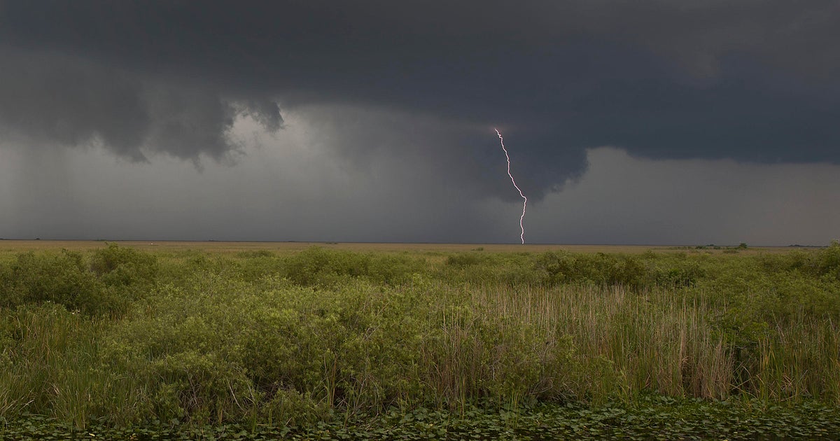
With the moisture in place and the weather pattern setup the way it is, rainfall is developing over the same region and moving over the same areas day after day. Initially, this area where the rain was focused was along Alligator Alley putting tremendous amounts of rain down from Naples east to Fort Lauderdale. After three days of rain, amounts close to a foot have been reported mainly across the Gulf Coast.
Rainfall does not come down constantly but rather in waves, heavy at times then a brief break. There breaks are not long enough to allow the rainfall to drain and it was only a matter of time before the extremely dry ground became saturated and could no longer hold any more water. The flood warning started Tuesday night and became more and more wide-spread Wednesday morning.
The good news for the flooding situation is that the area of heavy rain appears to be shifting direction and moving at the same time. This will not result in an end to the rain altogether, but lighter and lighter rain with more and more time between each period of rain. Even though this may seem to be an improvement, by now any additional rain will lead to more flooding.
Light passing showers are now resulting in more flooding and even causing flood advisories to be issued.
Eventually, the water will be able to drain faster than it accumulates but this looks like it may have to wait until Thursday or Friday. Even then there could be locally heavy showers which may result in brief flooding over smaller areas.
This also means that we have another night of flooded roads to get through. A flood watch remains in effect until 8 p.m. tonight. With darkness comes the danger of driving into a flooded area that may not be as visible during the day. Slow down and drive around flooded roads since you may not realize the depth of the water until it is too late.