Florida's Beaches Coming To Google Maps
MIAMI (CBSMiami/AP) – People from around the world will get a new perspective on Florida's famed beaches beginning next year.
On Wednesday, Visit Florida, the state's tourism and marketing arm, began a four-month journey to capture the state's 825 miles of beaches in 360-degree images.
These photos will be integrated into Google Maps and will be available to anyone around the world with Internet access.
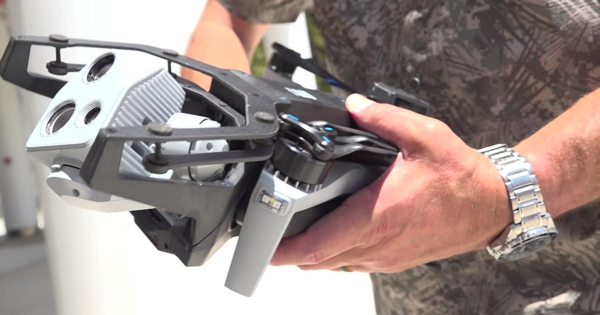
Two-person Visit Florida teams were trained by Google Map experts to capture the images. The teams will walk about 50 miles of beach each week with a backpack that has a camera system on top. The camera has 15 lenses, angled in different directions, so it can capture a complete picture of a location. The images are then stitched together into a 360-degree panoramic photo.
Officials say the images will be viewable on Google Maps next year.
(TM and © Copyright 2013 CBS Radio Inc. and its relevant subsidiaries. CBS RADIO and EYE Logo TM and Copyright 2013 CBS Broadcasting Inc. Used under license. All Rights Reserved. This material may not be published, broadcast, rewritten, or redistributed. The Associated Press contributed to this report.)


