June Ending With A Weekend Washout
MIAMI (CBS4) - The final days of June are looking stormy and summery for most of South Florida.
A few showers moved in across portions of South Florida this morning and this afternoon storms will develop with the potential for dangerous lightning and gusty winds. Minor urban flooding is possible in spots due to nearly stationary or slow moving storms.
As a trough of low pressure begins to dig into the Southeastern U.S., our winds will shift from a southerly to a more southwesterly flow Friday which will help to transport plenty of deep moisture associated with a few weak waves tracking across the Caribbean.
Storms will likely fire up across the interior sections of the Peninsula before being carried towards the east coast metro areas due to the westerly steering flow aloft.
Some of the storms may produce heavy downpours. Boaters should be aware that waterspouts may develop over the Atlantic waters.
Saturday into Sunday S. Florida will be to the south of the front in the warm and humid sector. With moisture converging over the peninsula, numerous showers and thunderstorms can be expected across South Florida.
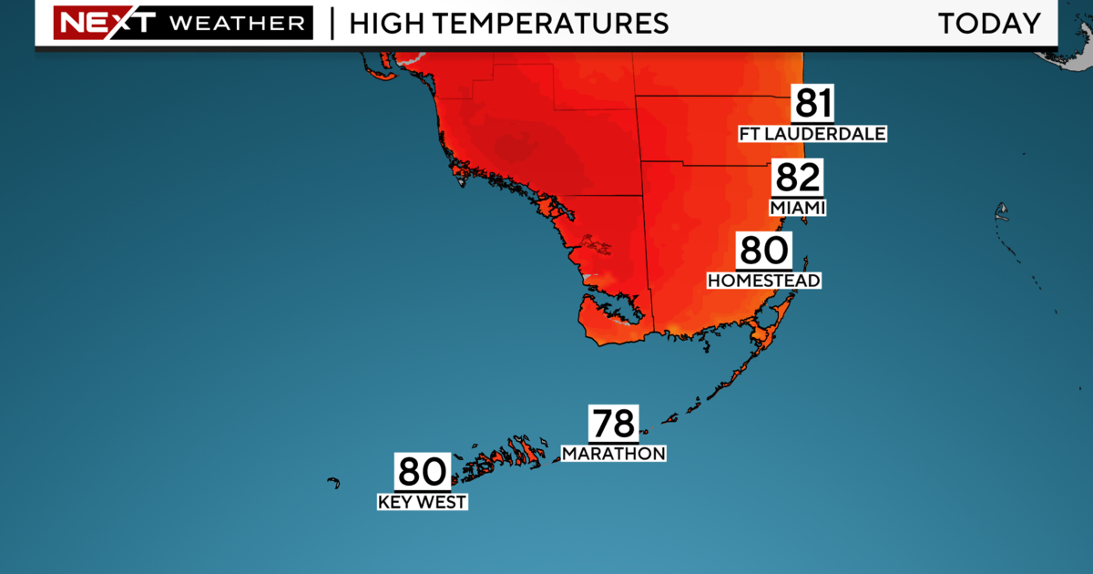
Forecast models indicated even more moisture will move in Saturday night into Sunday. Because of the increase in cloud coverage and the rain, highs should remain normal through the weekend with the upper 80s and low 90s.
The atmosphere will remain moist and unsettled through early next week before some drier air is forecast to move in next Wednesday and into Thursday just in time for the 4th of July holiday.