More Showers Expected, Drier Air On The Way
MIAMI (CBS4) – It was another wet and messy morning across South Florida with some areas seeing up to three inches of rain.
Combined with Monday's rain, the additional wet weather led to some very slick, and dangerous, conditions on the roads.
Most of Tuesday's showers were focused near the coast in the morning hours, said CBS4 meteorologist Lissette Gonzalez, who added that throughout the day we could see more showers and a few rain packed thunderstorms.
We still have abundant tropical moisture being pumped into South Florida by the same disturbance the CBS4 Storm Team was monitoring on Monday for signs of possible Subtropical cyclone development. That area of low pressure in combination with a weak trough draped across our region will keep our atmosphere moist and unstable.
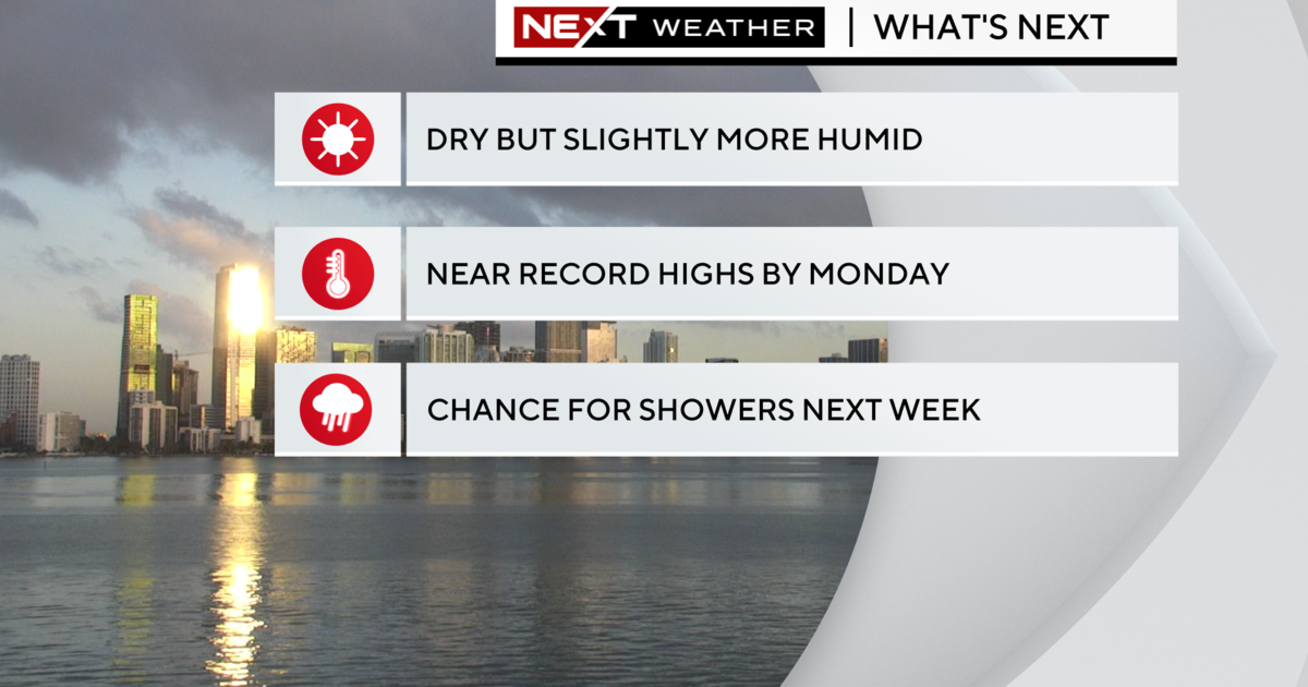
Temperature-wise it will feel a little more like summer than winter Tuesday afternoon with high humidity and temperatures warming to the low 80s.
The chance of rain chance will decrease slightly on Wednesday but spotty showers and isolated storms may occur through late week due to some moisture lingering and a few weak shortwave troughs forecast to sweep through South Florida. A strong cold front moves in this weekend to usher in drier, cooler, breezy weather by Sunday.