Memorial Day Weekend Washout In Effect As Alberto Forecast To Strengthen
Follow CBSMIAMI.COM: Facebook | Twitter
MIAMI (CBSMiami) – Subtropical Storm Alberto has strengthened slightly and picked up some speed.
The center is now north of our latitude, so South Florida will be dealing with the tail end of the storm.
Some dry air is now working its way into the storm, and that will likely allow the clouds to part from time to time and our temperatures to warm to the lower 80s throughout Sunday.
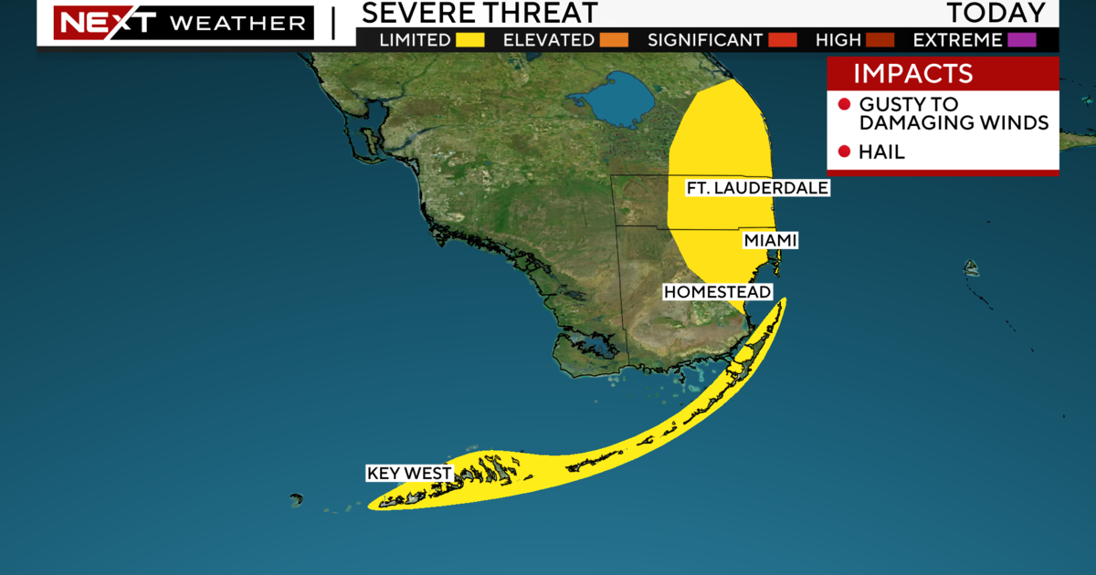
That will also provide fuel for more instability, meaning the tornado and strong storm threat will remain in the forecast.
Local rain will mostly come from two places- the bands of Alberto, and the tail of Alberto.
Where exactly the tail sets up will greatly impact the local forecast.
If the tail moves straight through South Florida we could be in for more prolonged, heavy rainfall. If it sets up to the east, there may be less in the way of rain.
Either way, the National Weather Service has continued the Flood Watch through Monday afternoon, and an additional 1-4 inches of rain could fall before it's all over.
The lower Florida Keys are under a Tropical Storm Warning.
A Wind Advisory is in effect in the Keys, a Small Craft Advisory is in effect also, and there is a high risk of rip currents along the coast.
Sunday night we will continue to see the chance for showers and gusty wind. Lows will be in the upper 70s.
The forecast for Memorial Day will be highly dependent on where the tail of Alberto sets up, but it seems as though we will have periods of clouds and rain, some downpours possible, with a few peaks of sun.
High temperatures will likely be in the middle 80s.
Alberto may become a Tropical Storm within the next 24 hours as it enters a zone of lighter shear.
It could make landfall as a Tropical Storm, but it is still uncertain.
At this point it looks as though the center would move onshore along the Florida Panhandle late Monday, and continue to move through Alabama into the Tennessee Valley by Wednesday, weakening considerably once it is over land.
A Flash Flood Watch is in effect for eastern Mississippi, Alabama and Florida. There is also the threat of 2-4 feet of Storm Surge.


