Rain To Be Followed By Cooler Temperatures
Follow CBSMIAMI.COM: Facebook | Twitter
MIAMI (CBSMiami) – The work week is starting out muggy, cloudy and warm and rain is on the way. Showers and thunderstorms are expected Monday afternoon with temperatures in the low 80s.
The moisture is associated with a cold front on the way, which is keeping the atmosphere moist and unsettled.
Once the stormy weather passes Monday afternoon into the evening, the front will clear and bring cooler temperatures. Lows will fall to the low to mid 50s overnight.
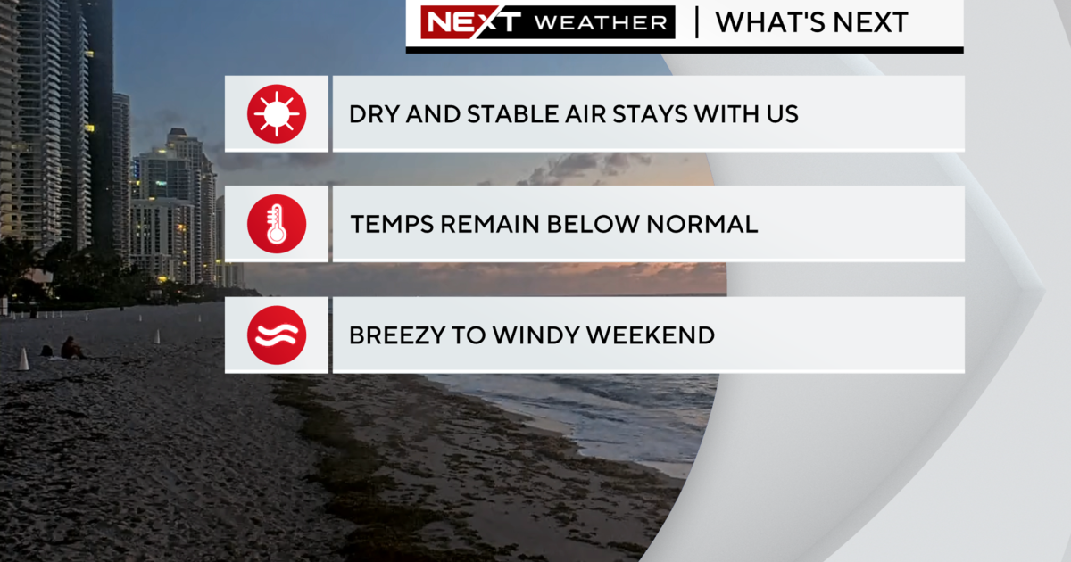
Tuesday highs will be about 10 degrees cooler with low 70s, plenty of sunshine and a cooler breeze.
South Florida will remain cool the next few days with chilly mornings and pleasant afternoons.
Wednesday and Thursday morning, temperatures will be in the low 50s and some inland areas could dip down to the upper 40s. Highs will continue in the low 70s until Thursday when the winds shift more out of the East to moderate temperatures. Friday our highs rebound to the mid-70s and by Saturday, we will see highs back in the upper 70s for St. Patrick's Day.
Then we may see the return of some showers this weekend due to a disturbance.