Woof! Dog Days Of Summer Are Here
Follow CBSMIAMI.COM: Facebook | Twitter
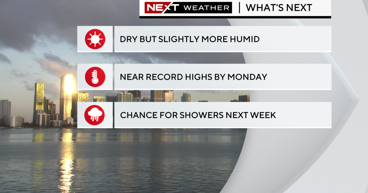
MIAMI (CBSMiami) - The heat is on.
We had a very warm and steamy start Tuesday morning with the mid to upper 80s across South Florida. When you factor in the high humidity, it felt like the 100s.
Spotty storms are possible later once the sea breeze develops and we get the heating of the day. Most storms will move towards western suburbs and inland this afternoon and evening. Highs soar to the low 90s and it will feel like the triple-digits.
With this dangerous heat in place, South Floridians need to take the necessary precautions. Stay hydrated, limit outdoor activity during the hottest part of the day and try to stay in the shade or air-conditioning as much as possible.
Never leave children or pets in enclosed vehicles. Look before you lock.
Tuesday will be warm and muggy with low 80s and a few showers.
We'll be even warmer the rest of the week.
As high pressure over the Atlantic drifts to the south, we'll see more of a southwest steering flow which turns up the heat across South Florida. Highs will be increasing by a few degrees every day. Low to mid-90s Wednesday through Friday with feels like temperatures in the 100s.
By the weekend we'll be flirting with record heat as highs climb to the mid to upper 90s. Because the wind will be out of the southwest, any storms that develop in the afternoon will be steered towards the east and hence, the rain chance will be increasing late week and into the weekend.
There is some good news. It's all quiet in the Tropics and cyclone development is not expected at this time