Record Heat Possible Today, Showers & Storms To Roll In Tonight
Follow CBSMIAMI.COM: Facebook | Twitter
MIAMI (CBSMiami) – We've got a wet and windy Wednesday heading our way.
The morning started off warm with lows in the 80s.
We'll see the clouds build, the winds increase throughout the day and storms develop later this afternoon.
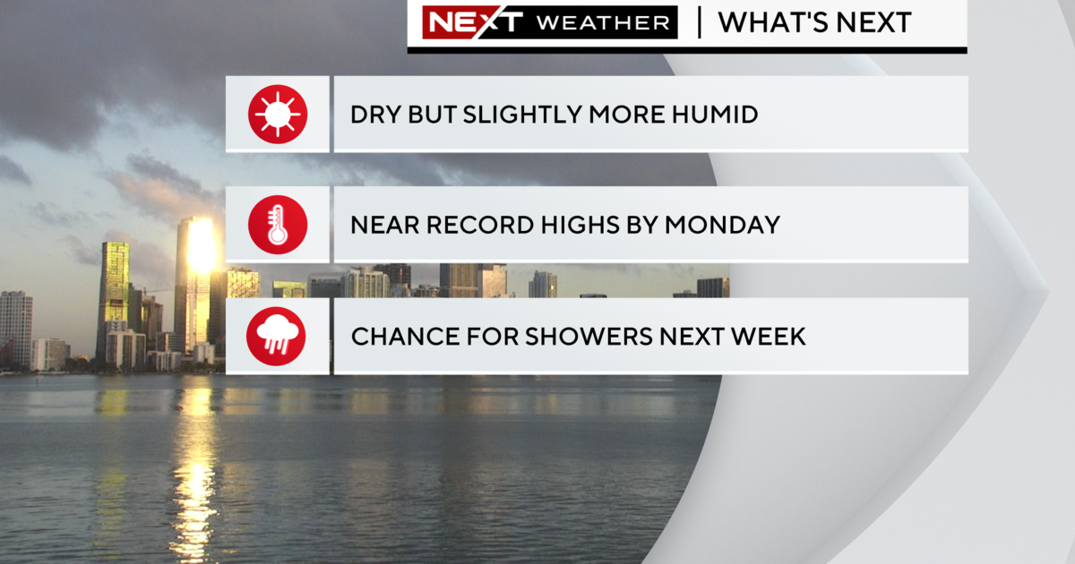
Before the rain rolls in, highs will soar to the low 90s with record heat possible.
Some of our storms could be quite severe due to a frontal boundary and plenty of deep tropical moisture moving in from the Gulf of Mexico along with a southwesterly wind flow. A tornado watch is currently in place for North Florida until 3 p.m. due to active weather across portions of the panhandle.
In fact, most of Florida currently has a slight risk of severe weather today, according to the Storm Prediction Center.
South Florida has a marginal risk of severe weather. There is a potential for heavy downpours, damaging gusty winds, small hail and isolated tornadoes cannot be ruled out. Models indicate the worst of the weather will likely move in this evening, tonight and overnight into tomorrow morning.
Tomorrow we'll remain unsettled with a very moist, unstable atmosphere in place. Gusty storms likely with highs in the upper 80s due to clouds and rain around.
As high pressure builds in Friday and into the weekend, the rain chance will decrease. We'll see lows in the upper 70s and highs in the low 90s for the long Holiday Memorial Day weekend. A Summer-like pattern setting up. A few afternoon storms will be possible.