Showers And Storms Ahead Of Much Cooler Temps
Follow CBSMIAMI.COM: Facebook | Twitter
MIAMI (CBSMiami) - A storm followed by a chill, get ready for an active weekend across South Florida.
A potent winter storm will impact Mississippi, Alabama, Georgia and the Carolinas with rain, sleet and snow over the weekend. With the storm passing well to our north we can expect to see a warm start to the weekend here in South Florida. Temperatures will climb into the 80s with a noticeable increase in humidity throughout the morning on Saturday. A few stray showers may move through the area in the morning but the weather is expected to get active throughout the afternoon with showers and even a strong thunderstorm. These storms will develop along a cold front that will be moving through the area between 1 p.m. and 6 p.m. Saturday afternoon. The storms will develop first in Broward County and then move south as the front easily pushes through the entire region.
As quickly as the storms develop and move in, they will move out as this front easily pushes through the entire area and moves south into the Florida Straits. From the storms Saturday afternoon the focus will then shift to the falling temperatures Saturday night and early Sunday.
What is being called an "arctic blast" across much of the country will bring in the coolest temperatures of the season so far to much of the state. The wind will easily gust over 20 mph starting Saturday evening and bring in cold and dry air from the north. Temperatures Sunday morning will be in the 50s along the coast and may drop into the 40s in some inland areas. With the wind gusting it may actually feel like it is in the 30s with a wind chill.
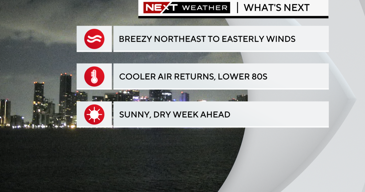
Once the wind shifts to the northeast then the temperatures may warm slightly, but will not contain some ocean moisture keeping clouds in place and possibly a light shower. This wind shift is expected on Sunday and will continue to gust over 20 mph on Monday as well.
Temperatures may be slightly warmer on Monday but given the additional clouds and the possibility of a passing shower, it will still feel just as cool. A small craft advisory will likely be issued for the region starting sometime Saturday night as the wind will be significantly stronger near the coast and over the open water.
The storm that is causing this active weather will continue to move off the coast and into the North Atlantic Monday night and Tuesday which will allow milder air to return along with calmer conditions.