Cool Change On The Way For The Weekend
Follow CBSMIAMI.COM: Facebook | Twitter
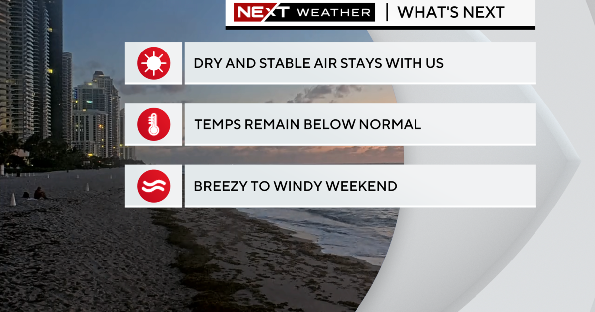
MIAMI (CBSMiami) - The long, hot days of summer are behind us and now a cool change is on the way.
It was a mild morning across South Florida with low 70s inland and upper 70s closer to the coast.
Scattered showers will be possible on Thursday which will be warm and breezy with highs in the mid to upper 80s.
There's a moderate risk of rip currents at the beach through Friday and the potential for minor coastal flooding around high tide time due to the northeast breeze.
A cold front over the Tennessee Valley is moving to the southeast and will push into northern Florida late Thursday night. This front will continue to move southward down the Florida peninsula on Friday and through South Florida on Friday night.
High pressure building in behind this front will allow for some cooler, drier air to work into South Florida from the north. Highs this weekend will be in the lower to mid 80s. Friday night lows will fall into the low 70s and upper 60s, except mid to upper 50s west of Lake Okeechobee.
It will be even cooler by Sunday morning with some inland areas waking up with the mid 60s and areas closer to the coast will likely be in the upper 60s. We may see some of the coldest temperature readings since May.
This front will also pick up the disturbance near the Bahamas, steer it away from South Florida and move it to the northeast through the northern Atlantic waters.