Hermine Causing Dangerous Surf Off Mid-Atlantic Coast
Follow CBSMIAMI.COM: Facebook | Twitter
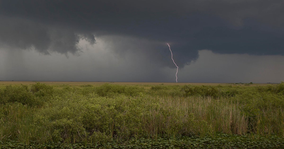
MIAMI (CBSMiami) - While it may no longer be a hurricane or tropical storm, Hermine's wind whipped waves are creating dangerous surf and rip currents along the mid-Atlantic coastline.
At 11 a.m. the system was about 295 miles southeast of the eastern tip of Long Island.
Maximum sustained winds were 70 mph as it drifted to the northwest at 6 mph. Tropical-storm-force winds extend outward up to 230 miles from the center.
A Tropical Storm Warning is in effect for...
* The coast of Long Island from Fire Island Inlet to Port Jefferson Harbor
* New Haven to Sagamore Beach
* Block Island
* Martha's Vineyard
* Nantucket
A gradual turn toward the north-northwest and northwest is expected to occur Monday afternoon and night. A northeastward motion is expected to begin by Tuesday night. On the forecast track, the center of Hermine will meander slowly offshore of the mid-Atlantic coast through Tuesday.
The combination of a storm surge and the tide will cause normally dry areas near the coast to be flooded by rising waters moving inland from the shoreline. Along the immediate coastline, the surge will be accompanied by large and dangerous waves.
Heavy rainfall associated with Hermine will remain mainly offshore through Wednesday. Rainfall totals of 1 to 2 inches are possible across far southeastern Massachusetts, including Cape Cod and the offshore islands.
- Click here for ways to prepare yourself for an impending storm from the CBSMiami.com Hurricane Preps page
- Click here for the latest news surrounding hurricanes and the National Hurricane Center
- Click here to see all of the latest maps when a storm forms in the Atlantic
- Click here to download the CBS4 2016 Hurricane Guide (English)
- Click here to download the CBS4 2016 Hurricane Guide (Spanish)
- Click here for Live Weather Blog
- Download CBS4 Weather App Here