Stormy Friday Leads To Tornado Threat For Parts Of Florida
Follow CBSMIAMI.COM: Facebook | Twitter
MIAMI (CBSMiami) -- Forecasters are keeping an eye on an area of low pressure located across the panhandle of Florida along with a trailing cold front which is approaching Florida's west coast now.
A strong upper level wind direction South-Southwest combined with an easterly wind at the surface are another set of ingredients for storms to possibly rotate, creating a recipe for tornadoes.
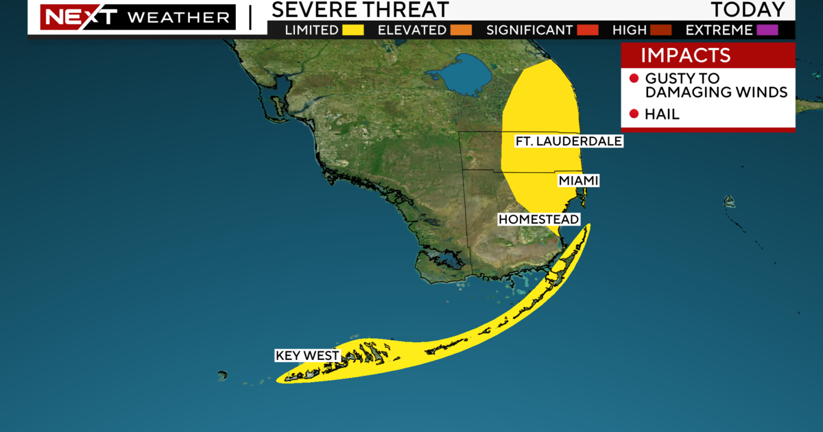
Tornado watches continues for Miami-Dade and Broward through 5PM.
The strongest storms have moved out of Broward, but light to moderate rain continues for a few more hours there.
In Miami-Dade, strong thunderstorms have a better chance of producing a brief tornado anywhere in the county through 5 p.m.
The worst conditions are now moving east from downtown Miami back to Doral with winds over 50 mph possible and very heavy rain that could cause some street flooding.
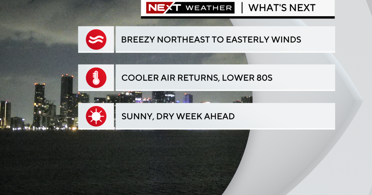
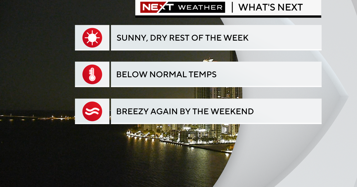
All of these storms will be off the coast by 5 p.m. with a few hours of lighter rains lingering through about 8 p.m. The skies will clear overnight.


