Erika Nears Leeward Islands, TS Conditions Early By Thursday
Follow CBSMIAMI.COM: Facebook | Twitter
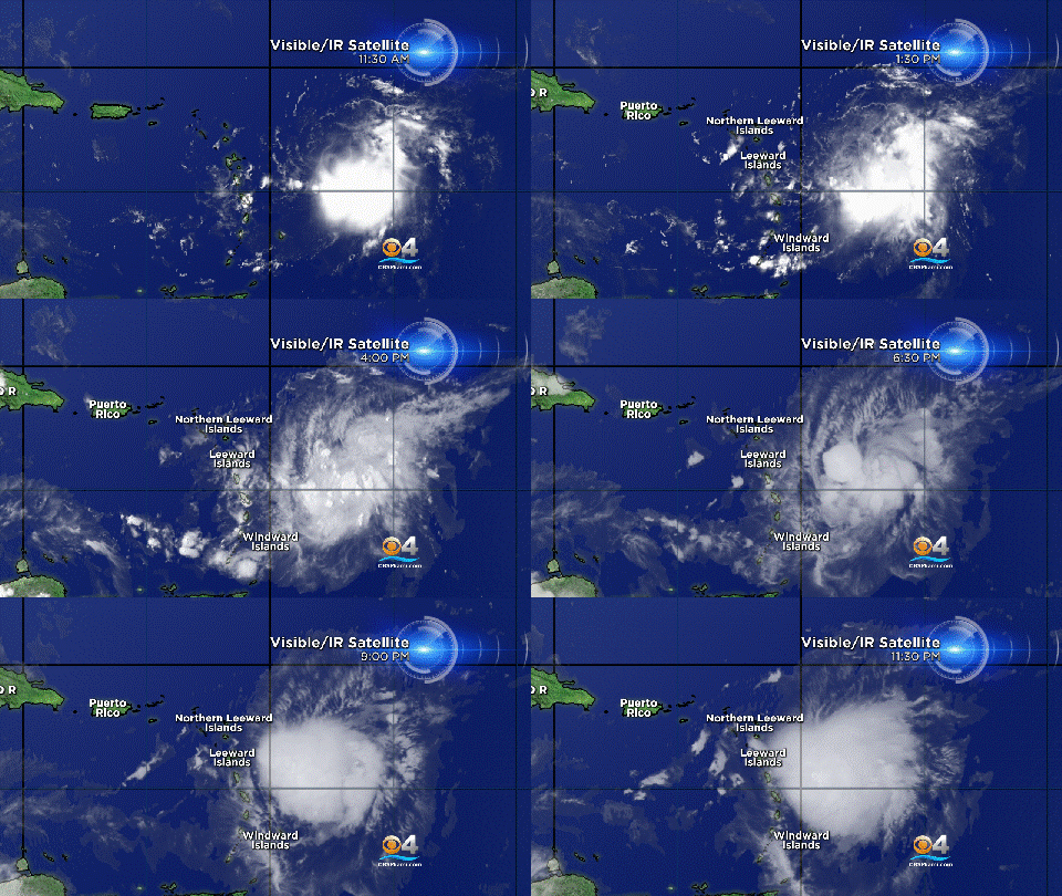
MIAMI (CBSMiami) – The Leeward Islands should expect tropical storm conditions by early Thursday as Erika nears.
At 11 p.m. the center of the system was located about 110 miles East of Antigua. Its maximum sustained winds remained at 45 miles per hour.
Tropical Storm force winds extend outward up to 105 mph primarily east of the center. Little change in strength is expected, but some slight weakening is possible over the next 48 hours.
Erika is moving toward the west near 16 mph and a west to west-northwestward motion is expected over the next day or so. It's forward speed should remain the same.
On the forecast track, the center of Erika will move near or over portions of the Leeward Islands early Thursday, and then move near the Virgin Islands and Puerto Rico later on Thursday and be near or just north of the north coast of the Dominican Republic on Friday.
Tropical Storm Warnings have been issued for Anguilla, Saba and St. Eustatius, St. Maarten, St. Martin, St. Barthelemy, Montserrat, Antigua and Barbuda, St. Kitts and Nevis, Puerto Rico, Vieques, Culebra, U.S. Virgin Islands and the British Virgin Islands.
Tropical Storm Watches remain in effect for Guadeloupe, North coast of the Dominican Republic from Cabo Engano to Cabo Frances, Southeastern Bahamas and Turks and Caicos Islands.
Erika is expected to produce 3 to 5 inches of rain across portions of the Leeward Islands, the Virgin Islands, and Puerto Rico through Friday morning. Some areas could see up to 8 inches of rain.
South Florida is now in the five day forecast cone and residents of most of the state are urged to monitor the storm's progress.
- Click here for ways to prepare yourself for an impending storm from the CBSMiami.com Hurricane Preps page
- Click here for the latest news surrounding hurricanes and the National Hurricane Center
- Click here to see all of the latest maps when a storm forms in the Atlantic
- Click here to download the CBS4 2015 Hurricane Guide (English)
- Click here to download the CBS4 2015 Hurricane Guide (Spanish)
