Stalled Front Brings Plenty Of Rain Our Way
MIAMI (CBSMiami) - A gloomy morning as wet weather rolled across portions of South Florida.
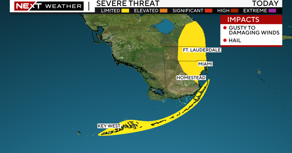
With plenty of moisture in place and a stubborn stalled frontal boundary to our north, we will continue to see storms on and off again throughout the day.
Just like Tuesday, we'll see the potential for some heavy downpours in spots and flooding will be possible, especially since the ground is already saturated.
Some of the storms may also produce lightning and gusty winds. An onshore flow will lead to a moderate risk of rip currents.
Highs will struggle to reach the mid to upper 80s due to the clouds and rain.
On Thursday, expect more of the same since the deep tropical moisture will still be surging from the south and the front appears to linger to our north.
This weekend the rain chance will decrease slightly and we'll see more of our typical rainy season pattern with a mix of warm sunshine and some scattered storms. The easterly breeze will continue through Saturday and Sunday with highs in the upper 80s.
CLICK HERE TO DOWNLOAD THE CBS4 WEATHER APP ON YOUR IPHONE
RELATED CONTENT:


