Foggy Forecast For The Weekend
DORAL (CBS4) - It was a foggy start across South Florida Friday morning with visibility reduced to a quarter of a mile or less in spots. That could happen again this weekend ahead of some possible rain.
What caused the dense, dangerous fog?
The area is to the south of a stalled frontal boundary draped across Lake Okeechobee with plenty of moisture in place and light winds. The National Weather service issued a Dense Fog advisory Friday morning for all of Broward and Miami-Dade counties due to the fog spreading from the inland areas all the way to the East coast.
Once the fog mixes out, we should see more sunshine this afternoon with highs in the low 80s. The rain chance remains low Friday with the possibility of a few stray showers.
Overnight and into Saturday morning, dense fog will likely develop again. The stalled frontal boundary lingering across Lake Okeechobee will lift back north as a warm front Friday night before making its way down south again Saturday as a cold front.
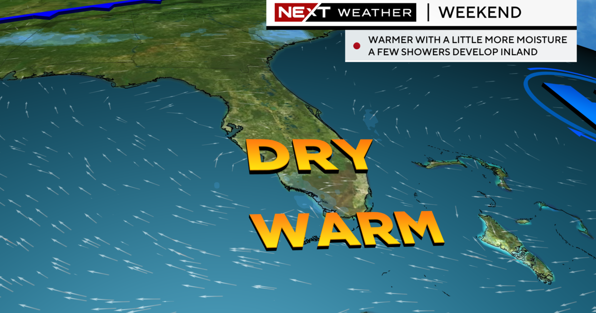
There will be a bit more moisture around this weekend associated with this front which means a better chance of rain Saturday and likely for the first half of Sunday.
It's not likely to be a washout by any means, but we'll see about a 30 percent chance of rain Saturday and then a 20 percent chance of rain on Sunday.
Once the front clears, temperatures will drop down only slightly and closer to our average. Lows will be in the lows 60s and highs will be more comfortable in the upper 70s.


