Sandy Weakens To Cat. 1 Hurricane As It Passes Through Bahamas
MIAMI (CBSMiami) – Hurricane Sandy has weakened to a category one storm as it moves over the central Bahamas.
At 11 p.m., Sandy was about 15 miles north-northeast of Eleuthera, Bahamas. The storm had maximum sustained winds of 90 mph and was moving north-northwest at 13 mph.
A Hurricane Warning is in effect for the northwestern Bahamas.
A Tropical Storm Warning is in effect for the central Bahamas, the east coast of Florida from Ocean Reef to Flagler Beach, and Lake Okeechobee.
A Tropical Storm Watch continues along Florida's east coast from Flagler Beach to Fernandina Beach; and in the upper Florida Keys from Ocean Reef to Craig Key and Florida Bay.
For the newest forecast from the CBS4 Weather Team, click on the video below:
The National Hurricane Center (NHC) forecasts Sandy to weaken a little during the next 48 hours, adding it will remain a hurricane. The NHC track calls for Sandy to continue north through Thursday evening, then turn northwest and slow down Thursday night.
Based on that forecast track, the center of Sandy will move over the central Bahamas on Thursday evening, then reach the northwestern Bahamas on Friday.
Sandy is expected to produce total rainfall amounts of 6 to 12 inches across Haiti, the Dominican Republic and eastern Cuba. Some areas could see up to 20 inches of rain. These rains may produce life threatening flash floods and mudslides.
The Bahamas could see up to 6 inches of rain with isolated areas getting up to 12 inches.
Southeast Florida and the Keys could see up to 3 inches of rain.
Sustained winds of 15-35 mph may impact South Florida and Florida's east coast with these conditions continuing through Saturday. Wind gusts could reach as high as 50-60 mph, primarily along the immediate coast or just offshore.
Potential impacts to South Florida during periods of high wind include broken/downed trees and branches, downed power lines resulting in some power outages, and dangerous driving conditions on bridges and overpasses, particularly for high-profile vehicles like SUVs.
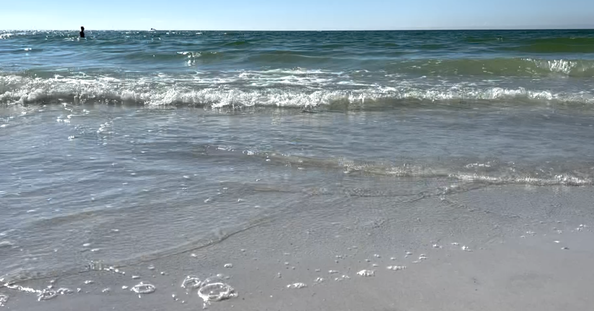
Waves will be the primary threat, resulting in beach erosion, coastal flooding and a high rip current risk lasting as long as the middle of next week. Breakers as high as 8-10 feet at the coast and 20 feet offshore are forecast. If the storm tracks closer to the Sunshine State, these effects could be greater. A Small Craft Advisory is in effect for most of Florida's coastal waters.
CBSMiami Tropics Update | Tropics Tracker | Hurricane News