Keys Visitors Asked To Leave, Monroe Shelters Open
KEY WEST (CBS4) – Monroe County officials have asked visitors to leave the Keys ahead of Tropical Storm Isaac's arrival.
The Florida Keys are under a Hurricane Warning.
Monroe County Emergency Management officials urged tourists Saturday to leave "if they have the means to do so safely," or to stay inside hotels or shelters.
Emergency management director Irene Toner said visitors should be out before Saturday night, as conditions are projected to become hazardous starting early Sunday morning.
Four shelters are open in Monroe County:
- Key West High School, 2100 Flagler Avenue
- Sugarloaf School, Mile Marker 19 on Sugarloaf Key
- Stanley Switlik, Mile Marker 48 in Marathon
- Coral Shores High School, Mile Marker 90 in Islamorada
People going to shelters must bring their own supplies and bedding.
In Key West, inside Sloppy Joe's, there was a decent crowd Saturday night but nothing like what you would expect on a regular Saturday night.
The majority of businesses on Duval Street, the main tourist strip, are shuttered or closed for the storm.
With the nasty weather ruining the evening and worse weather expected Sunday, it appears most business owners decided to shut down but not John Long at the Key West Cigar Club.
"The tourists they're gone. Thank god I have a good local clientele to keep me going," said Long.
Traffic on the Florida Keys Overseas Highway (U.S. 1) flowed smoothly Saturday and tolls were lifted on Card Sound Road.
The Snake Creek Drawbridge, in the Upper Keys, is locked in the down position to facilitate vehicular traffic. High profile boats will not be able to obtain a bridge opening until well after the storm passes.
Monroe County Airports director Peter Horton said Delta and AirTran airlines added extra Key West departures until the airport closed at 7 p.m. Saturday; no commercial flights will operate Sunday and likely not Monday as well.
Visitors who don't have transportation out of the Keys, can stay but are directed to remain indoors throughout the storm. Residents should heed the same advice.
Visitors that have immediate or near-term plans to visit the Keys must postpone their trips until after the storm passes and infrastructure assessments are completed.
All federal, state, county and municipal parks and beaches are closed. All recreation and other high-profile vehicles should leave the Keys. All residents of mobile homes, boats and those in low-lying areas are urged to move to safe buildings or shelters.
Both the U.S. Coast Guard and Florida Fish and Wildlife Commission authorities said they have limited ability to respond to marine incidents because of their own storm preparations. Coast Guard officials announced the Port of Key West would close to all maritime traffic at 11 p.m. Saturday and remain close until after the storm passes and navigational aids can be inspected.
All county and municipal offices and public schools are to be closed to all Monday and to students Tuesday. County and municipal garbage pickup is canceled Monday, so residents are asked to not place refuse containers outside residences and businesses.
All Keys hospitals are open and fire/rescue and law enforcement services are operating at this time. Hospitals are to remain open during and after the storm, but county fire rescue units evaluate their ability to respond when winds reach gale force, according to Monroe County Fire Rescue Chief Jim Callahan.
Andrew Devanas, the science officer at the Key West National Weather Service, projected to following impacts of Isaac, based on the 5 p.m. Saturday National Hurricane Center forecast.
Tropical storm-force winds should be arriving in the Keys around sunrise Sunday morning and exiting the Keys late Monday morning.
The center of circulation should be over the Keys, between Key West and Marathon beginning Sunday night, as a strong tropical storm or weak Category 1 hurricane. There is an 85 percent chance for tropical storm-force winds and a 15 percent chance for hurricane-force winds.
Tropical storm-force winds should extend more than 200 miles from the center.
Expected rainfall amounts of six to 10 inches.
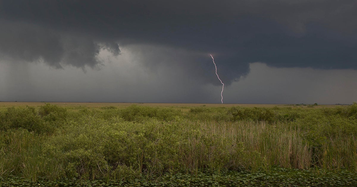
There is the possibility of isolated tornadoes.
Storm surge is expected to be one to three feet, perhaps as high as four feet at points in the Lower Keys.
CBSMiami Tropics Update | Tropics Tracker | Hurricane News | Hurricane Preps
Cancelations and closings for MIAMI DADE | BROWARD | KEYS/MONROE
Here's how to use the CBS4 site to prepare for and monitor Isaac: