Stubborn Clouds Linger Over South Florida
MIAMI (CBS4) – Thursday morning was another gloomy start to most people's work day with clouds and patchy dense fog across much of South Florida.
Temperatures in the early morning hours ranged from mid to upper 60s and humidity level was a little drier than we've seen over the last few days. CBS4 meteorologist Lissette Gonzalez said throughout the day the clouds will linger due to an a low pressure system over the Baja Peninsula and a southwesterly flow aloft helping to pump in moisture from the Gulf of Mexico across our South Florida.
Gonzalez added that a trough of low pressure extending from the Bahamas to Cuba will create a northeasterly wind flow at the surface level which will help carry in a few showers this morning. Throughout the day we will see a few more showers with this onshore flow.
In the afternoon the breeze will increase and highs will only climb to the upper 70s due to the mostly cloudy skies. The threat of showers will stay through Friday with and easterly breeze.
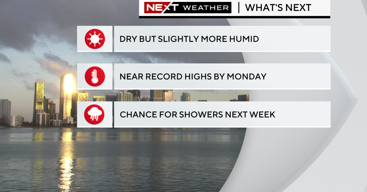
On Saturday the chance of rain is bumped up because of a cold front which will slide down the state with plenty of moisture ahead of it. If this front stays strong and clears the state, by Sunday morning some inland areas may wake up with a chilly breeze with the upper 50s and highs may not reach 70 degrees in the afternoon with the return of the Sun. A gradual warming trend with more of a breeze is expected early next week when we will see highs closer to normal with the upper 70s.