Chilly Change Is On Its Way
MIAMI (CBS4) - Get ready for sweater weather South Florida.
A strong cold front is pushing across the eastern Florida panhandle and will be sliding down across South Florida by late Wednesday.
Wednesday morning we woke up to temperatures in the low 70s and CBS4 meteorologist Lissette Gonzalez said our afternoon highs will be in the low 80s with the chance of a few showers. Once the front passes the wind will increase out of the north-northwest which will usher in the colder air which is already being felt in North Florida. On Wednesday, a number of northern cities including Pensacola and Tallahassee woke up to temperatures in the upper 30s to lower 40s. Freeze warnings have been issued for portions of the Florida panhandle.
Gonzalez said we should feel the change in the weather late Wednesday as temperatures fall into the 60s this evening and then the chilly mid to upper 50s overnight. Our average low this time of year is 64 degrees; our average high 79 degrees.
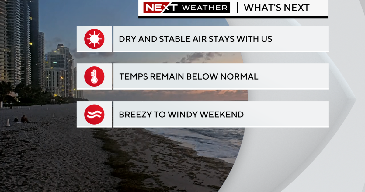
Highs will remain below average with the low 70s through Friday. As the cold, dry air mass really settles in and high pressure will dominate our weather pattern over the next few days. Friday morning expect temperatures in the low 50s in some spots and Saturday morning a few locations may even drop down to the upper 40s. This weekend expect a slight warm-up in the afternoons with highs in the upper 70s.
Come Monday, however, we'll be back to near normal with temperatures in the low 80s.